Edirne Meriç Bridge: 1842–1847, 12 arches, about 263 m, marble pavilions and murals. Walk 25–30 min from Kaleiçi and catch the sunset on the old bridge.
The Meriç Bridge is a 12-arch stone bridge that crosses the Meriç River on the road linking Edirne to Karaağaç, completed between 1842 and 1847 in the reign of Sultan Abdülmecid. Also known as the Mecidiye Bridge, it is 263 metres long and 7 metres wide according to the Kültür Portalı (Türkiye's culture portal); with the marble pavilions in its middle, it is where people in Edirne most often watch the sunset. It is about a 25–30 minute walk from Kaleiçi.
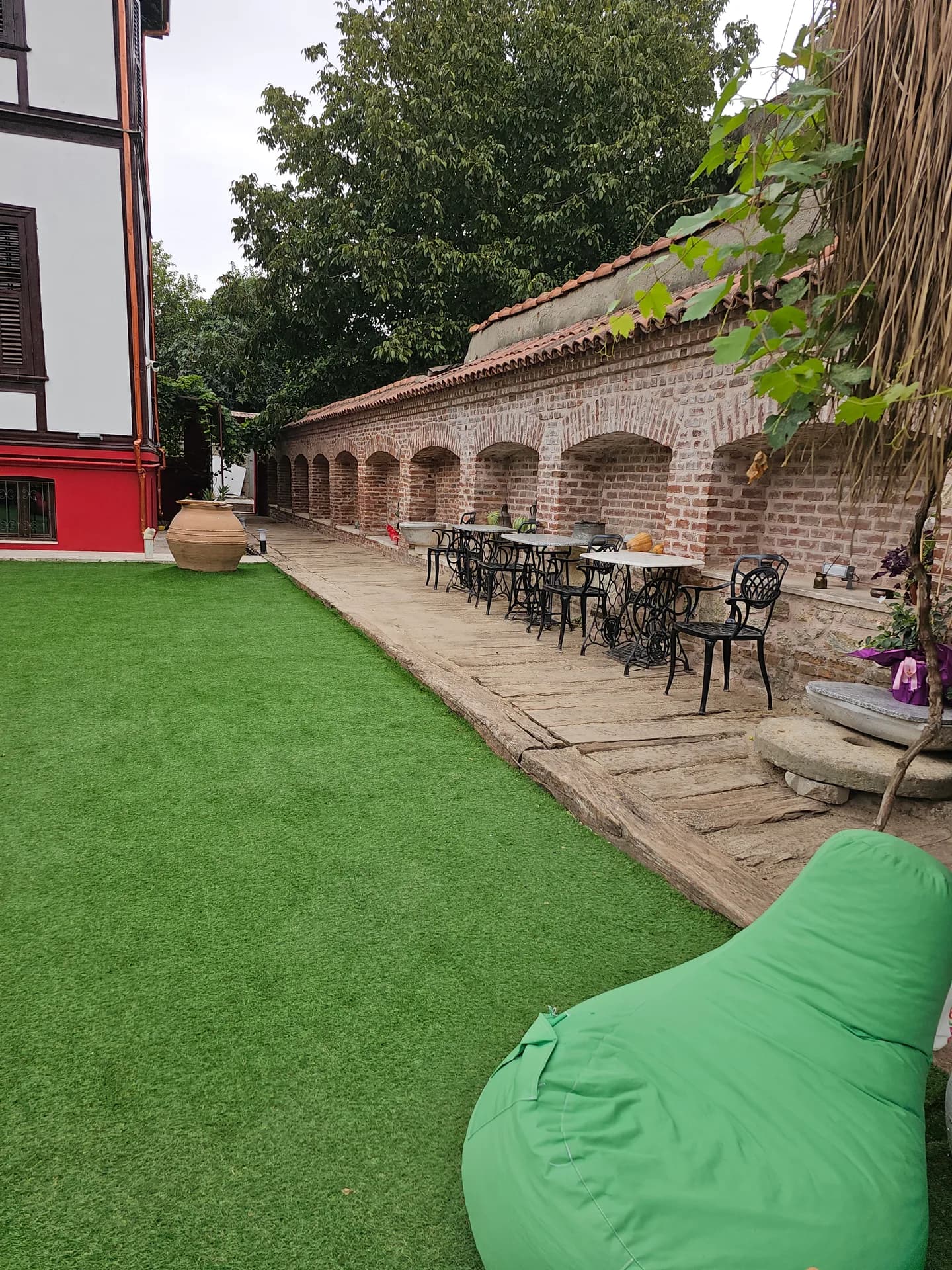
Café & Restaurant
Coffee, desserts and a relaxing break
Quick Overview
| Topic | Information |
|---|---|
| Other names | Mecidiye, Mahmudiye, Sultan Mecid, New or Outer Bridge |
| Location | Edirne–Karaağaç road, Meriç River |
| Built | Begun in 1833, left unfinished; completed in 1842–1847 |
| Sultan | Mahmud II (began), Sultan Abdülmecid (completed) |
| Architect | Unknown |
| Length | 263 m (Kültür Portalı); 261 m (Edirne Governorship) |
| Width | 7 m |
| Arches | 12 pointed arches on 13 piers, 11 relief openings |
| Widest span | 14 m |
| Pavilions | Marble inscription pavilion and a viewing balcony opposite |
| From Kaleiçi | 25–30 minutes on foot |
For an overview of Edirne's other historic bridges, see our historic bridges of Edirne guide.
From Wooden to Stone: The History of the Meriç Bridge
For a long time there was a wooden bridge where today's stone bridge stands. The art historian Semavi Eyice, drawing on Hoca Sadeddin, reports that the first bridge here was built of wood in the reign of Murad I. According to sources, after 1785 this wooden bridge was called "Cisr-i Sâni" (the Second Bridge); when it collapsed in the 1827 flood, the Edirne court registers record that it was repaired for 3,874 kuruş.
According to the Edirne Governorship, during Sultan Mahmud II's visit to Edirne it was decided to rebuild the wooden bridge in masonry. Construction began in 1833 (AH 1249), but work was left unfinished for financial reasons and because of the sultan's death in 1839. His son Sultan Abdülmecid had the bridge completed between 1842 and 1847 (AH 1258–1263), and the structure was named the Mecidiye Bridge after him. Sources do not name its architect.
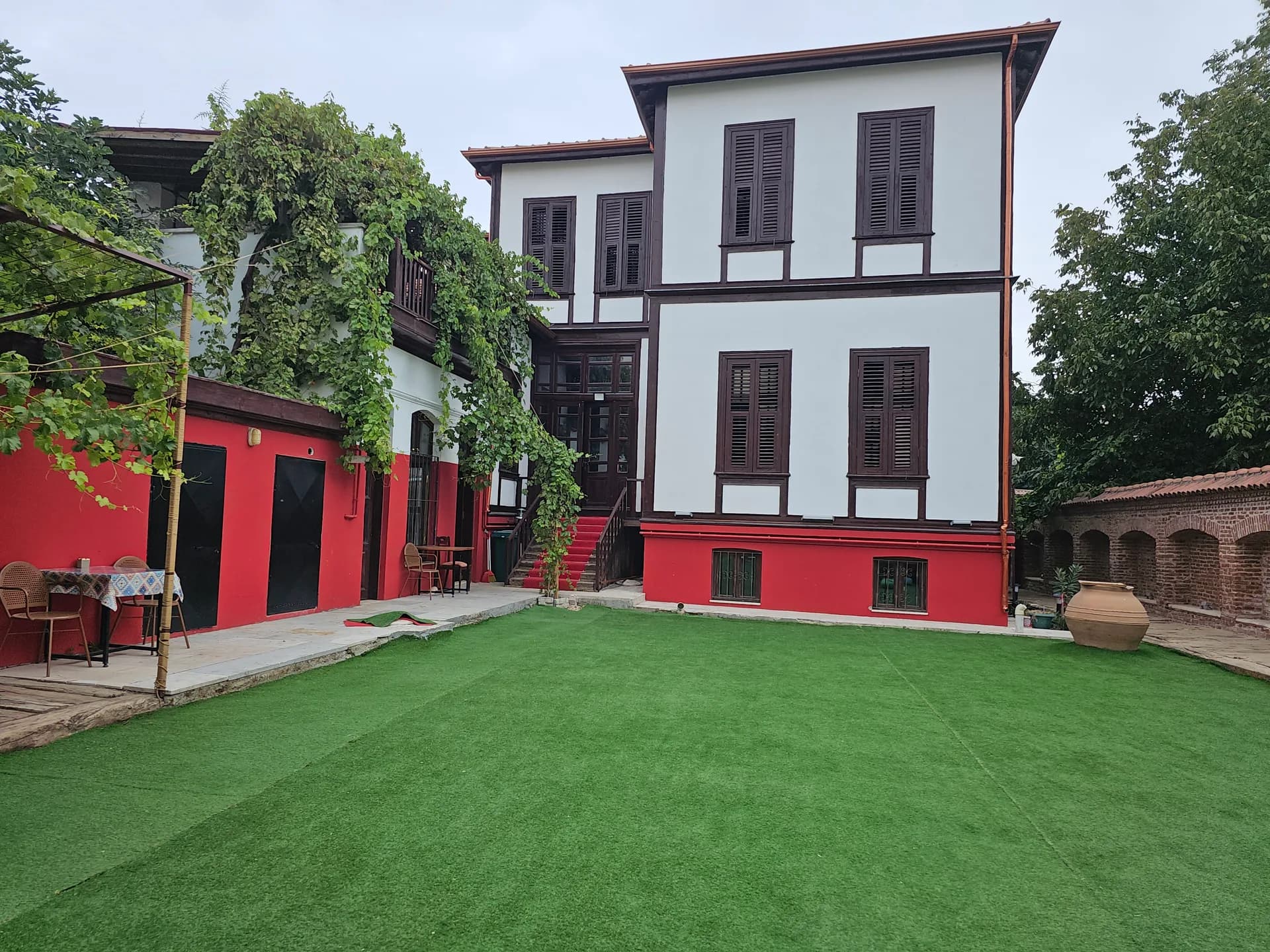
Stay
Stay in Edirne Kaleiçi with breakfast included
With these dates, the Meriç Bridge is the most recent of Edirne's historic bridges. The Governorship record also notes that cut-stone quays were built at both ends of the bridge for ships, boats and rowing boats to moor, because until the 19th century the Meriç was used as a waterway reaching the Aegean.
A landing for river trade
According to the Governorship, in the 16th century the place called İskelebaşı next to the Meriç Bridge was linked with Enez, considered Edirne's port. Goods, dried fruit and grain from Egypt, the Aegean islands and İzmir reached Enez by ship and were carried from there to İskelebaşı by small boats along the river. Today the stone quays on both sides of the bridge are silent witnesses to this trade.
The Inscriptions: From Pertev Paşa to 1966
The story of the Meriç Bridge's construction is told in two inscriptions:
Events
Engagements, small weddings and private celebrations
1. The Mahmud II inscription: Written by Pertev Paşa and dated 1249 (1833–34). It tells in verse of the sultan's visit to Edirne and his decree to rebuild the collapsed bridge. 2. The Abdülmecid inscription: A rebuilding inscription written by the poet Ziver Bey in ta'liq script. The original inscription was lost in the early 20th century.
The text you see in the inscription pavilion today was rewritten faithfully to the original by the calligrapher Mustafa Uğur Derman and installed in 1966.
Arches, Cutwaters and Measurements
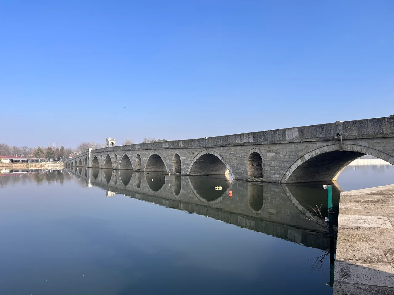
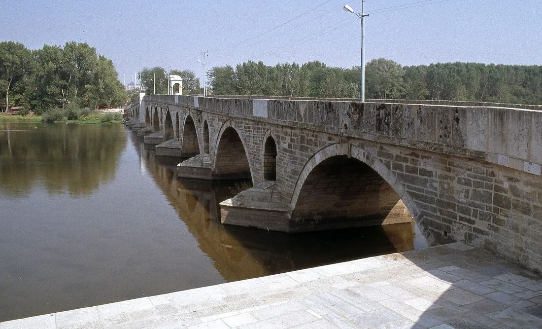
According to the Kültür Portalı, the bridge has 12 pointed arches on 13 piers and slopes gently towards both ends; in other words, it has a profile that is high in the middle and lower towards the ends. Above the piers are 11 round-arched relief openings. These openings reduce the pressure that rising water puts on the body of the bridge during floods.
Breakfast
A generous Turkish breakfast spread in the garden
According to research published in the Sanat Tarihi Dergisi (Journal of Art History), the bridge's notable technical details are:
- Widest arch span: 14 metres.
- Upstream side: Triangular, stepped cutwaters split the water.
- Downstream side: The piers have seven-sided buttresses.
- Stone ornaments on the piers: Besides its inscription and viewing pavilions, the bridge stands out for the figurative stone ornaments on its piers.
- Approved project: The bridge has projects approved by decision no. 661 of the Edirne Regional Board for the Protection of Cultural and Natural Assets, dated 25.11.2005.
Sources differ slightly on length: the Kültür Portalı gives 263 metres, while the Edirne Governorship and the same research give 261 metres. Because the difference depends on the measuring point, "about 261–263 metres" is the most accurate statement.
The Viewing Pavilion and the Inscription Pavilion: Standing in the Middle of the Bridge
What sets the Meriç Bridge apart from Edirne's other bridges is the two marble structures facing each other in its middle.
The inscription pavilion
The pavilion, with round-arched openings on four marble piers, is covered by a lead-clad vault. According to old photographs, the vault was topped by a metal finial in the shape of sun rays, fashionable in the time of Mahmud II; this finial has not survived. In the middle of the curved pediment on the front are the crescent and star and the tughra (imperial monogram), with fruit bowls at the sides; the corners and side faces have flag, sword, arrow and cannon motifs. These reflect the 19th-century Empire style.
The pavilion's most surprising detail is inside: the inner face of the vault is decorated with murals from the Westernisation period. In the middle is an oval medallion, surrounded by "S" and "C" curved leaves, and at the bottom are landscape scenes showing waterside pavilions and trees. According to the research, while murals of this kind were common in palaces, mansions and mosques, this is the first example found in a bridge pavilion. Do not forget to stand under the pavilion and look up.
The viewing balcony
Opposite the inscription pavilion is a marble balcony facing upstream. The balcony rises on a marble base 6 metres high and 3.03 metres wide, with a marble bench on three sides and 100-centimetre-high parapet panels behind it. Some sources call it a namazgâh (open-air prayer place); however, as it has no mihrab niche and does not face the qibla, its main function is thought to have been rest and viewing. This is the best corner of the bridge for watching the sunset.
Sunset and Photography on the Meriç Bridge
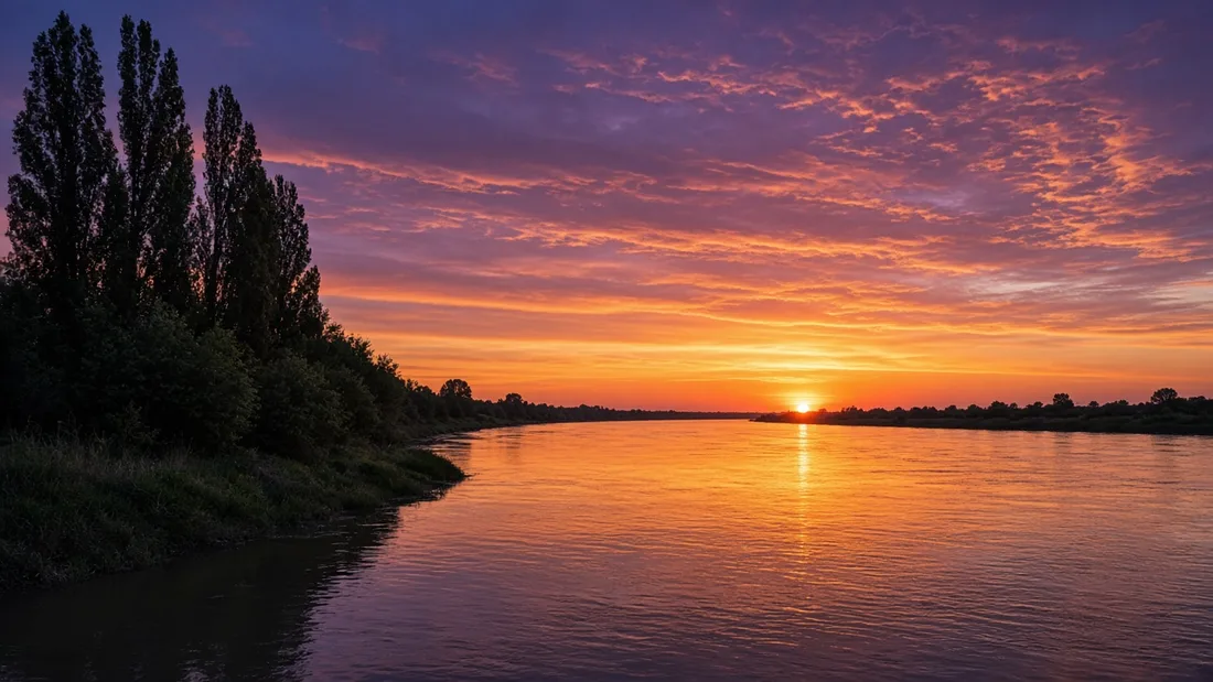
The Meriç Bridge is one of the most photographed spots in Edirne. In the late afternoon the wide riverbed, the trees on the bank and the bridge's light-coloured stone share the same warm light. On windless days, the reflection of the 12 arches in the water draws almost perfect curves.
A few photography tips:
1. From the viewing balcony towards the river: Shoot downstream with the balcony's marble parapet in the foreground. 2. From the bank, side on: To see the whole bridge and its gently sloping profile, look for a side angle from the quays or the walking areas on the bank. 3. Inside the inscription pavilion: A wide-angle lens makes the murals on the vault easier to capture. 4. Blue hour: The short time after sunset balances the colours of the sky and the stone. 5. Season: In autumn the yellow of the riverside trees, and in spring the high water level, offer different frames; do not go down to the bank during floods.
If you are looking for other photo spots in Edirne, see our photo spots in Edirne, including the mansion courtyard in Kaleiçi page.
The Karaağaç Road: What Comes After the Bridge?
The road from Kaleiçi to Karaağaç first crosses the Tunca Bridge and then the Meriç Bridge. After the bridge, the road continues to the Karaağaç neighbourhood and the Pazarkule border crossing. Karaağaç has stops such as the historic station building and the Lausanne Monument; you can find a detailed guide to the area in our Edirne Karaağaç travel guide. If you are planning a longer walk along the Meriç and Tunca, our Edirne's rivers and walking route guide is a good companion.
Traffic and repair notes
- 2019 repair: The bridge was closed to traffic for about two months because of cracks in the stone surface; after the Regional Directorate of Highways repaired the surface faithfully to the original, it reopened to pedestrians on 16 October 2019.
- One-way traffic: In summer, the Edirne Governorship may apply one-way traffic on the Meriç and Tunca bridges from the city centre towards Karaağaç. In 2026 this was extended until 12 October; return traffic uses the Dr. Mehmet Müezzinoğlu Bridge and the Süvari Bridge.
- Parking: Parking may be banned in the bridge direction between Lozan Caddesi and the Meriç Bridge.
As traffic arrangements change seasonally, confirm the current situation before you go if you are driving. Walking is still the easiest way.
Walking from Kaleiçi to the Meriç Bridge
The walk from Komşu Konak to the Meriç Bridge takes about 25–30 minutes; the route is flat and crosses the Tunca Bridge. If you set off about 45 minutes before sunset, you will reach the bridge for the best light. If you have not yet seen the old bridge on the west side of the city, you can add an Edirne Gazi Mihal Bridge walk to the same weekend.
We have no private car park; those arriving by car can easily park on the outer edge of Kaleiçi and start the walk from there. Plan your route with our location in Kaleiçi, Edirne (Google Maps); for a rest after sunset, our overnight stay in a historic mansion in Kaleiçi is within walking distance.
Frequently Asked Questions
When was the Meriç Bridge built?+
Construction began in the reign of Mahmud II, in 1833; when work was left unfinished, the bridge was completed in the reign of Sultan Abdülmecid between 1842 and 1847.
How long is the Meriç Bridge?+
According to the Kültür Portalı it is 263 metres long, and 261 metres according to the Edirne Governorship; it is 7 metres wide.
How many arches does the Meriç Bridge have?+
It has 12 pointed arches on 13 piers. Above the piers there are also 11 relief openings.
Why is the Meriç Bridge called the Mecidiye Bridge?+
It is named Mecidiye because the sultan who completed it was Sultan Abdülmecid. Sources also mention names such as Mahmudiye and Sultan Mecid.
Who was the architect of the Meriç Bridge?+
According to the Edirne Governorship, the bridge's architect is unknown.
Can you watch the sunset from the Meriç Bridge?+
Yes. It is where people in Edirne most often watch the sunset; the viewing balcony and the banks on both sides of the bridge are the favourite spots.
How many minutes is it on foot from Kaleiçi to the Meriç Bridge?+
The walk from Kaleiçi takes about 25–30 minutes; the route first crosses the Tunca Bridge.
What is the pavilion in the middle of the Meriç Bridge?+
There are two marble structures facing each other in the middle: the inscription pavilion, which carries the inscription and is decorated inside with murals, and the viewing balcony opposite it.
Image Credits
- Meriç Bridge, arches reflected in the calm river: Sadrettin, CC BY-SA 4.0 (
https://creativecommons.org/licenses/by-sa/4.0), source:https://commons.wikimedia.org/wiki/File:Meri%C3%A7_K%C3%B6pr%C3%BCs%C3%BC,_Edirne,_23.JPG, cropped and converted to WebP. - Pointed arches and cutwaters of the Meriç Bridge, seen from the stone quay: Dosseman, CC BY-SA 4.0 (
https://creativecommons.org/licenses/by-sa/4.0), source:https://commons.wikimedia.org/wiki/File:Edirne_Meri%C3%A7_Bridge_in_2017_005.jpg, cropped and converted to WebP.
You may also like: Accommodation, Breakfast, Events.