Edirne Lalapaşa dolmens: Arpalık dig, soul holes, Kapaklıkaya sites and Kırıkköy menhirs. Read before visiting these 3,000-year-old stone tombs!
Among places to visit in Edirne beyond the city centre, the Lalapaşa dolmens are prehistoric burial monuments built from large stone blocks, scattered among villages on the southern slopes of the Istranca (Yıldız) Mountains north of Edirne. According to the Edirne Governorate, they date to the Late Bronze and Early Iron Ages, roughly 1400–800 BCE. The best-studied example of the dolmens known locally as Kapaklıkaya, Kapaklı Kaya, or Perikızı Evi is the Arpalık Dolmen, right beside the district centre.
Café & Restaurant
Coffee, desserts and a relaxing break
We cover the district route and Sinanköy Castle in our Edirne Lalapaşa travel guide; here we focus on the stones themselves, what the excavations revealed, and how they are spread from village to village.
At a Glance
| Topic | Details |
|---|---|
| Location | Lalapaşa district and its villages, 24 km from central Edirne |
| Local names | Kapaklıkaya, Kapaklı Kaya, Perikızı Evi, Tablataş |
| Period | Late Bronze–Early Iron Age (Governorate: c. 1400–800 BCE) |
| Documented count | 118 dolmens in Turkish Thrace in the 1990–1998 surface survey |
| Excavated and restored example | Arpalık Dolmen, 1994–1995 |
| Example in a museum | Hacılar Dolmen, garden of Edirne Museum |
| Menhir field | Kırıkköy, 165 x 65 m, 2 km south of Çömlekakpınar |
| Protection | Vaysal village, 1st-degree archaeological site (30.01.2012) |
| Visiting | Open countryside; most stand in fields and pasture |
Edirne's Dolmen Belt: Why Do the Stones Cluster at Lalapaşa?
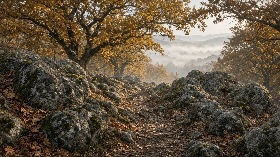
Thracian dolmens concentrate in a strip where the mountains meet the plain. According to archaeologist Umut M. Doğan, they appear in clusters especially on the east bank of the Lalapaşa stream valley; the belt runs via Süloğlu and Kofçaz to Demirköy district in Kırklareli. We cover the forests and granite hills of this landscape in our guide to Edirne's nature and geography.
The belt does not stop at the border. In work published in TÜBA-KED, Murat Akman notes that the megaliths of Sakar, Istranca, and the eastern Rhodopes form the densest group in southeastern Europe; more than 750 dolmens are documented in Bulgaria. On the Turkish side, Şevket Aziz Kansu wrote in 1971 that the known dolmen count was approaching 30. When the Istanbul University team led by Prof. Dr. Mehmet Özdoğan surveyed Istranca, including its wooded sections, between 1990 and 1998, the figure rose to 118 dolmens.
Stay
Stay in Edirne Kaleiçi with breakfast included
What Is a Dolmen? Anatomy of a Kapaklıkaya
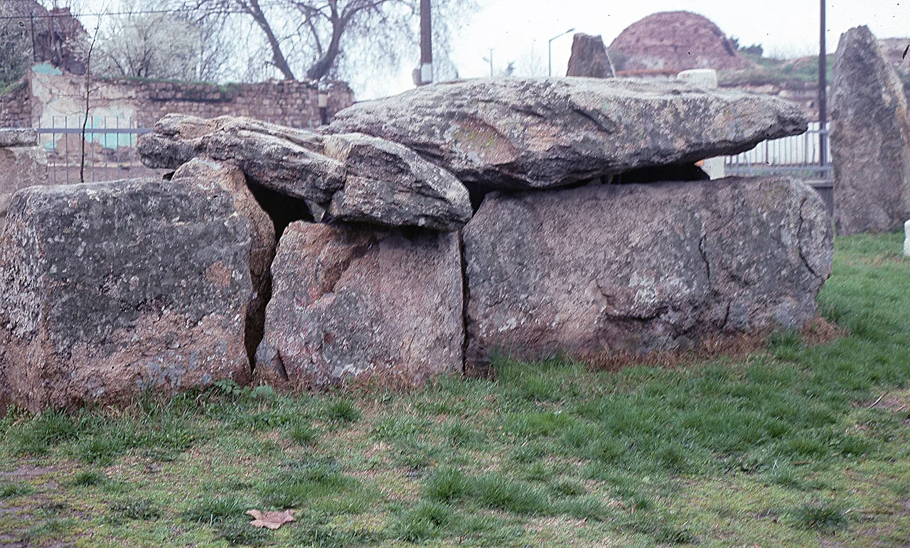
A dolmen is a tomb built by setting large upright blocks and placing a single capstone on top. According to Akman, Thracian dolmens are very similar apart from size: a mound and, on it, a three-part burial structure aligned south to north.
- Dromos: Open entrance passage on the south side.
- Antechamber: First enclosed space reached from the dromos.
- Burial chamber: The largest and tallest section, which gives the dolmen its stepped appearance on top.
Blocks reach 2–3 metres in height and stand without mortar, leaning against one another; gaps are filled with smaller stones. The stone closing the chamber entrance has a rounded rectangular or oval opening. Akman calls this a "soul hole"; Kansu used the term menfez (vent). The opening is wide enough for a body to be pushed through.
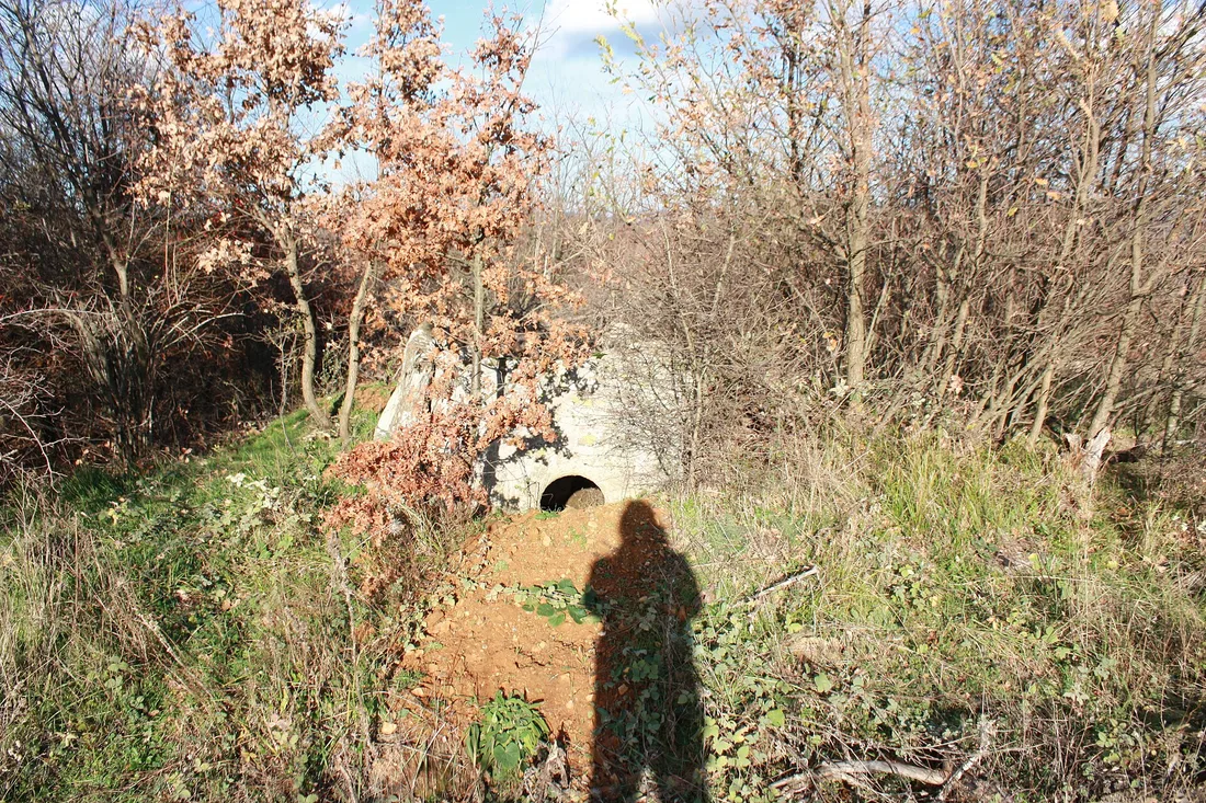
Thracian dolmens fall into single-chamber and two-chamber types; both have a dromos. Examples are known where three two-chamber dolmens stand side by side on the same mound. Aylin Apaydın's 2022 master's thesis at Trakya University concludes that most dolmens face south.
Events
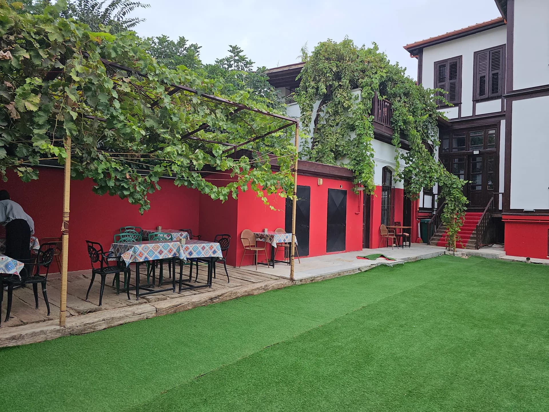
Engagements, small weddings and private celebrations
Arpalık Dolmen: The Kapaklı Kaya That Was Excavated and Re-erected
Lalapaşa's best-known dolmen stands at Arpalık, very close to the district centre. According to Akman, when the monument was recorded in 1990 it was hidden by scrub in a field, and looters' digs had left only the main chamber standing. When the land was opened to development in 1994, a rescue excavation began on behalf of Edirne Museum under Prof. Dr. Mehmet Özdoğan; work finished in 1995 with support from the Istanbul branch of the German Archaeological Institute.
Dimensions from the excavation:
- Dolmen: Three sections, 7.50 m long, 2.55 m external width, 3.10 m high above the plain.
- Burial chamber: 2.20 x 1.90 m, height 2.60 m.
- Antechamber: 2.35 x 2 m, height 2.30 m; linked to the burial chamber by a soul hole 0.60 x 0.45 m.
- Mound: 20–24 m east–west, 15 m north–south; bounded on the south by a façade wall at right angles to the dolmen axis.
Finds from the antechamber
In the looted main chamber only a bronze fibula (brooch) remained. The antechamber's fallen capstone had protected the fill from looters. Here, stacked skeletal remains of three or four individuals came to light. Jaw bones found beside the soul hole suggested the dead were placed by being pushed in feet-first through the opening; stacked burials also point to use as a family tomb. Cremation vessels and querns were placed beside them.
Breakfast
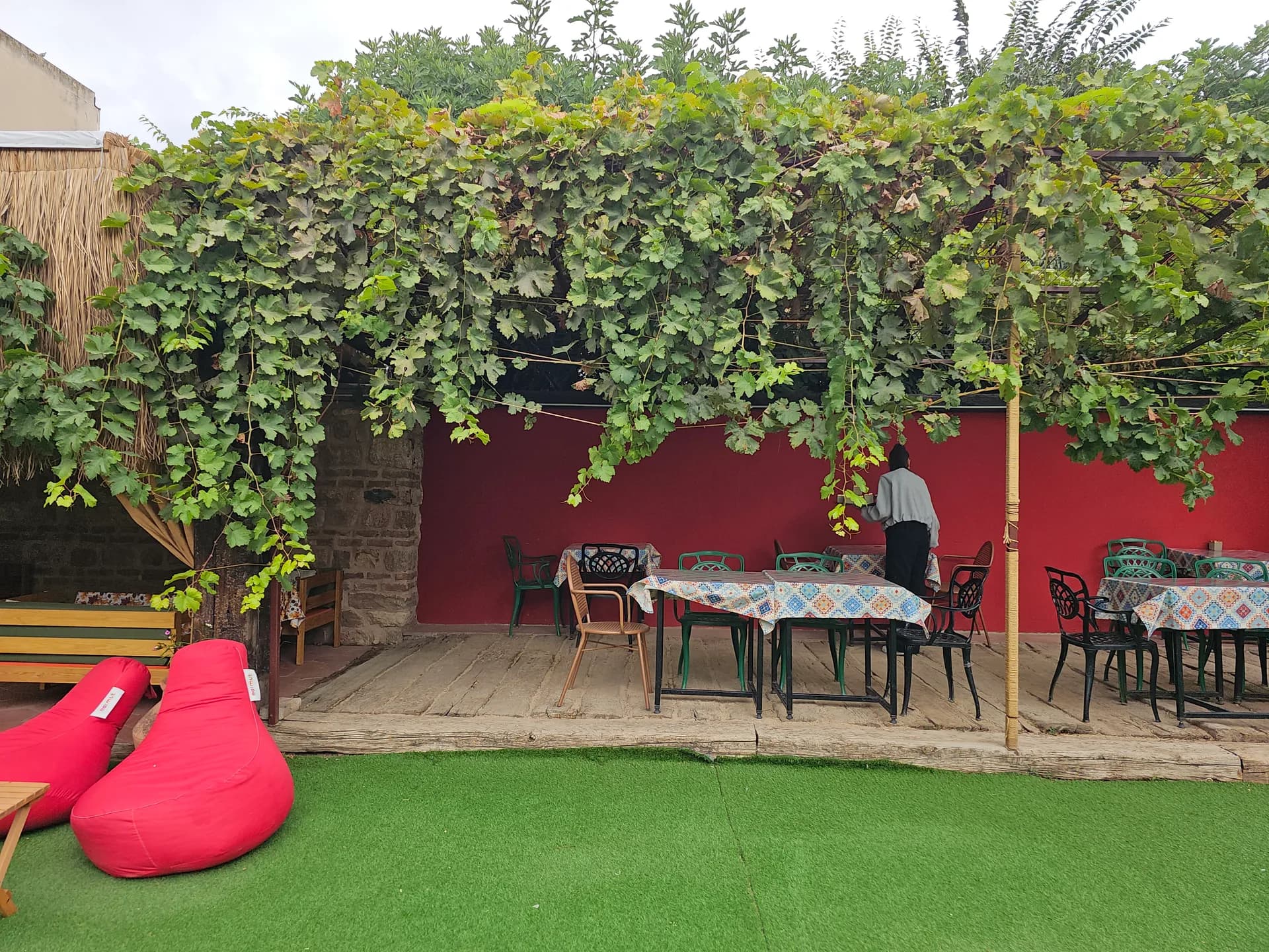
A generous Turkish breakfast spread in the garden
The dig also revealed construction technique: north and south blocks were set upright first, side blocks leaned against them, and capstones were hauled up using the completed mound as a ramp. For restoration, iron supports were installed inside the chambers, the façade was rebuilt with mud mortar, and the area was fenced with an information panel. Finds were restored and put on display at Edirne Museum.
Lalapaşa Dolmens Village by Village: Where Are Edirne's Dolmens?
The answer to where Edirne's dolmens lie was sought along village roads from the 1960s onward. Ruhi Esin, a retired deputy director of national education, reported dolmens to Kansu in 1960; the two surveyed the area together on 10 September 1963, and Esin's later letters were published in Belleten.
Büyünlü
According to Kansu's 1963 notes, four dolmens stand together on a tumulus about 12 m across, ringed by black poplars, 300 m north of the village. Counting the surrounding vineyards and fields, Kansu recorded six dolmens here.
Hacıdanişment and Vaysal
In Esin's letter dated 10 October 1969, a two-celled dolmen with 30–40 cm thick capstones lies about 200 m east of the road at the second kilometre of the Hacıdanişment road. Descending toward Vaysal Creek, a larger two-celled dolmen stands beside the road.
Kalkansöğüt and Karagöl
On 11 October 1970 Esin measured a dolmen 6.30 m long in woodland about 5 km west of Kalkansöğüt; its menfez is 40 cm wide and the top is basket-handle arched. At Karagöl, 4 km southeast of Vaysal, he recorded three dolmens within about one kilometre around a small lake.
Piroğlu Taşlığı and Doğanköy
According to Akman, on the Piroğlu Taşlığı pasture immediately north of Arpalık, a group spread over roughly 4 km² includes the region's most imposing dolmen. The single-chamber Kapaklıkaya at Doğanköy is, in Prof. Dr. Engin Beksaç's view, among the best-preserved examples; Çöke Tepesi southwest of the village is a rock monument Beksaç identified in 2011, surrounded by dolmens and cist graves.
Kırıkköy Menhirs and Lalapaşa's Standing Stones
Lalapaşa menhirs—flat, elongated stones set on their short edge—form a second monument family. The most striking field is Kırıkköy, which Esin noticed on 12 November 1969 on the Çömlekakpınar road. According to Türkiye Arkeolojik Yerleşmeleri (TAY) records:
- The site lies 2 km south of Çömlekakpınar, on a rise projecting into the plain like a promontory.
- The menhirs cover an area of 165 x 65 m in three groups; the third group was destroyed when land was ploughed.
- The stones stand on a levelled platform; an oval ditch tapering toward the ends surrounds them, with a barrow at each end of the ditch.
- Some stones show small cup marks 0.5 cm deep and V-shaped decoration.
According to the district governorate, 15 menhirs over 2 m high still stand at Kırıkköy. Esin also mentions an upright about 3 m tall beside the road 1 km before Hacıdanişment; Kansu noted that stones at Vaysal might be traces of a stone circle (cromlech).
Who Built Them, and When? Dates from the Excavations
Based on surface observation, Kansu suggested roughly 2000 BCE for the dolmens. Excavations pushed the dates later.
Hacılar Dolmen was moved to the garden of Edirne Museum in 1983 because it had been damaged. According to the Governorate, in this two-chamber dolmen ringed with large stones, two large ritual vessels were found at a depth of 50–60 cm; one vessel was compared with Troy VIIb2 ware and dated to the Late Bronze–Early Iron transition. We describe the museum in our Edirne Museum guide.
According to Doğan's assessment, Arpalık Dolmen was built in the 12th century BCE and reused for burial in the late 8th and 7th centuries BCE. Akman adds that a few finds may mean use continued into the Hellenistic period.
For where these stones sit in the city's long story, see our Edirne history guide; for monuments from later periods, our article on Edirne's historical sites period by period.
Protection, Visiting Etiquette, and Getting There from Edirne
The dolmens' worst enemy is treasure-hunting folklore. In 2023 Beksaç stressed that no hoard lies in the dolmens and said many dolmens he had seen intact years ago are gone. According to Akman, menhirs disappear even faster because their shape suits building stone.
Under decisions of the Ministry of Culture and Tourism protection boards, Vaysal village was registered as a 1st-degree archaeological site by decision no. 205 of 30 January 2012; Hamzabeyli B Dolmen was registered the same way by decision no. 368 of 14 May 2012. Unauthorised digging and treasure hunting in protected areas is an offence under the Law on the Conservation of Cultural and Natural Property.
A few rules for visiting:
- Do not climb the stones or enter through soul holes; cracked capstones may be unstable.
- Before entering fields and vineyards, ask the landowner in the village; do not walk on planted ground.
- Choose dry weather: dirt roads turn muddy after rain.
- Ask for directions: most dolmens are unsigned; the village headman's office is the most reliable source.
- Border zone: obey military restricted-area signs.
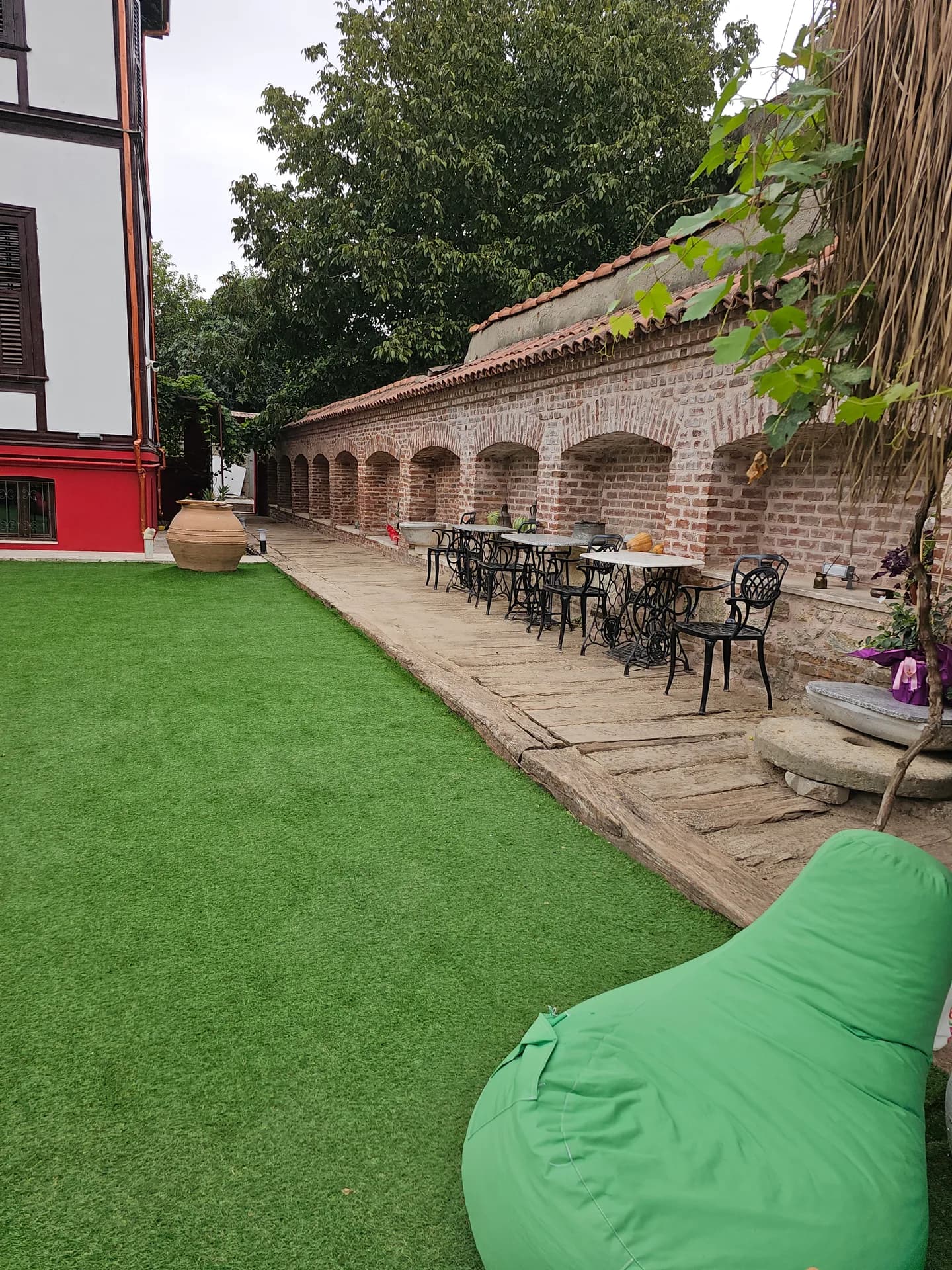
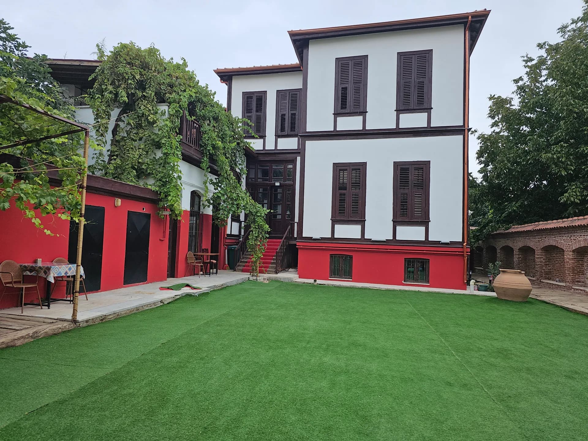
Seeing Hacılar Dolmen at Edirne Museum beside Selimiye Mosque is good preparation before heading into the countryside. Lalapaşa centre is 24 km away; monuments are spread among villages, so you need a private car. Komşu Konak is a historic guesthouse in Kaleiçi on İzmir Caddesi, Mithat Paşa Mahallesi; Selimiye is a 12–15 minute walk. We have no private car park; parking on the outer edge of Kaleiçi is straightforward. Breakfast is served 09:00–13:00; a Turkish spread breakfast in Kaleiçi, Edirne is a strong start to a day in the fields. If you want to spend the night in the historic fabric on the way back, look at guesthouse stays in Edirne Kaleiçi. For a starting point on your route, our location in Kaleiçi, Edirne (Google Maps) may help.
Frequently Asked Questions
Where are the Lalapaşa dolmens?+
In Lalapaşa district, 24 km from Edirne, scattered around the district centre and the areas of Büyünlü, Hacıdanişment, Vaysal, Kalkansöğüt, and Doğanköy. A short drive from Edirne, scattered around the district centre and those villages rather than gathered in one park. Pick a cluster and ask locally; you will not see them all in an hour.
What is a dolmen, and how does it differ from a menhir?+
A dolmen is a burial chamber with upright stones and a capstone; a menhir is a single long stone set upright on its own. A menhir is one stone, standing alone. If you can walk under a cap, you are at a dolmen.
How old are the Lalapaşa dolmens?+
The Governorate dates Thracian dolmens to 1400–800 BCE; excavated Arpalık Dolmen was built in the 12th century BCE. The governorate's range puts them in the late prehistoric centuries, and the excavated Arpalık example sits inside that span. They are not Ottoman markers by the road.
What was the soul hole for?+
It is the small opening linking the chambers. Finds at Arpalık suggest the dead were placed by being pushed in through this hole. Look at it as part of the grave; it is not a passage to climb into.
Where can Hacılar Dolmen be seen?+
It was moved from Hacılar village to the garden of Edirne Museum in 1983; the ritual vessels are also displayed in the museum. If you cannot get to the fields, this is the dolmen you can see without a car into Lalapaşa.
Where are the Kırıkköy menhirs?+
2 km south of Çömlekakpınar village in Lalapaşa, in an area measuring 165 x 65 m. A short way south of Çömlekakpınar, in a defined patch of ground. They are standing stones, not chambers, so do not hunt for a capstone there.
Is there treasure in the dolmens?+
No. Prof. Dr. Engin Beksaç states this clearly; unauthorised digging in a protected site is a criminal offence. Digging a protected site without permission is a crime, and there is nothing buried for you to take. Photograph the stones and leave them as you found them.
Do you pay to visit the Lalapaşa dolmens?+
They stand in open countryside; no formal ticketed entry is known. Confirm with local sources before you go and ask field owners for permission. Ask the field owner before you leave the track, and check locally in case access has changed.
How many dolmens were recorded in Turkish Thrace?+
The 1990–1998 surface survey documented 118 dolmens. The excavated and restored example is the Arpalık Dolmen, worked on in 1994–1995 beside the district centre. Vaysal village was registered as a first-degree archaeological site on 30 January 2012.
How big is the menhir field at Kırıkköy?+
It measures 165 by 65 metres and lies 2 km south of Çömlekakpınar. Lalapaşa is 24 km from central Edirne, on the southern slopes of the Istranca, also called the Yıldız Mountains. Local names for the dolmens include Kapaklıkaya, Kapaklı Kaya, Perikızı Evi and Tablataş.
Image Credits
- Dolmen in the garden of Edirne Museum: Dosseman, CC BY-SA 4.0 (
https://creativecommons.org/licenses/by-sa/4.0), source:https://commons.wikimedia.org/wiki/File:Edirne_Museum_Portal_tomb_106.jpg, cropped and converted to WebP. - Kapakkaya dolmen at Düzorman, Kırklareli: by rock, CC BY 3.0 (
https://creativecommons.org/licenses/by/3.0), source:https://commons.wikimedia.org/wiki/File:Kapakkaya_d%C3%BCzorman_k%C4%B1rklareli_-_panoramio.jpg, cropped and converted to WebP.
You may also like: Accommodation, Breakfast, Events.