Edirne history: from Uscudama and Hadrianopolis to the 1361 conquest, the 1365–1453 capital, Selimiye and the 1923 Lausanne border. Read the full timeline.
The history of Edirne runs from a Thracian settlement at the meeting point of the Meriç, Tunca and Arda rivers to Roman Hadrianopolis, to the Ottoman conquest (in the prevailing view, 1361), to its years as capital in 1365–1453, and on to the border drawn by the Treaty of Lausanne on 24 July 1923. What follows is not a sightseeing list but an encyclopaedic answer to the city's names, battles, buildings and the question "why here?". Where official and academic sources disagree on dates, we leave the disagreement as it is.
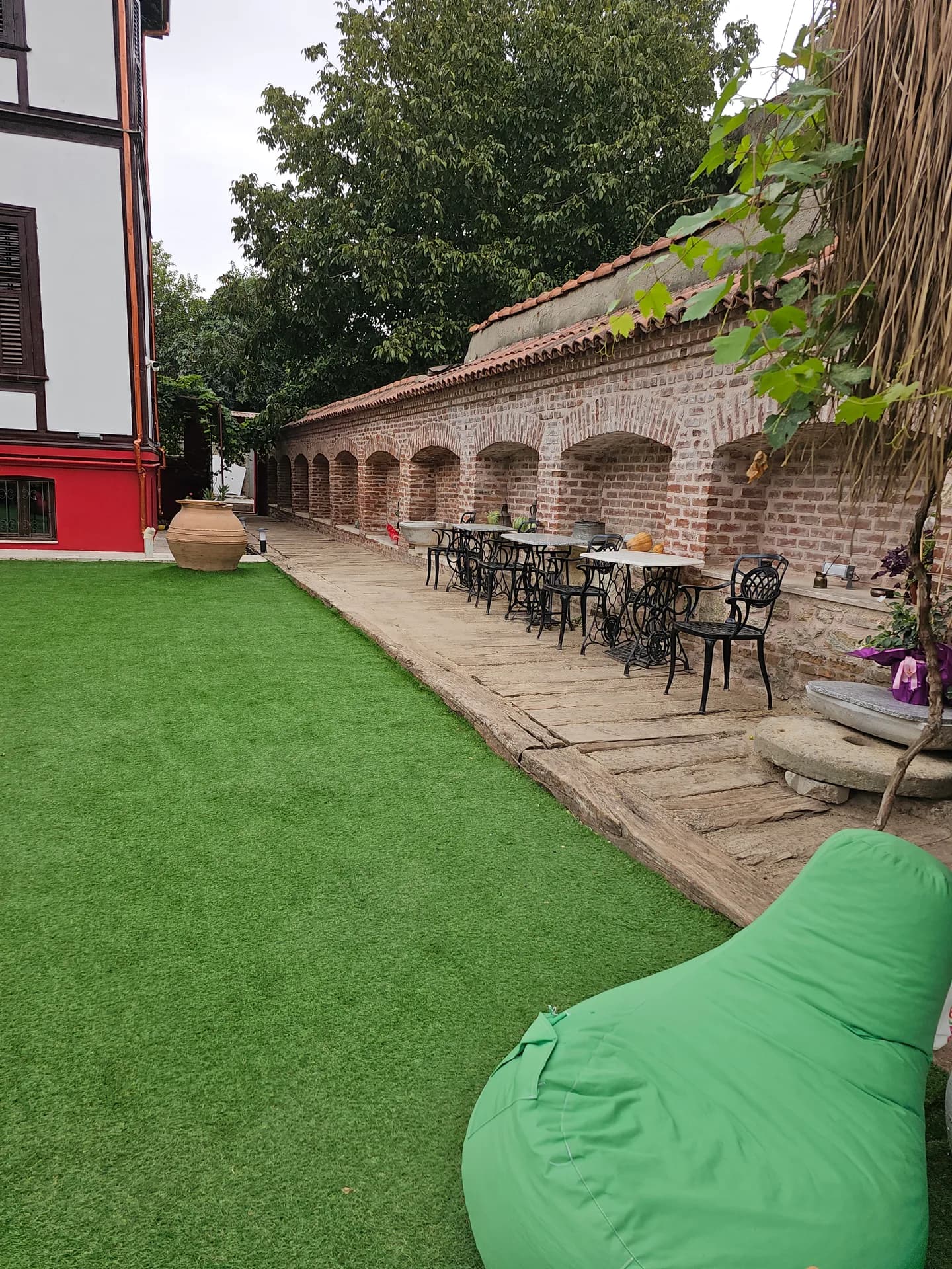
Café & Restaurant
Coffee, desserts and a relaxing break
Quick Overview
| Topic | Information |
|---|---|
| Earliest names | Uscudama / Uskudama, Odrysia, Orestia, Orestias |
| Roman name | Hadrianopolis (Adrianopolis, Adrianople) |
| Hadrian | AD 117–138; gave the city his own name |
| Battle of Adrianople | 9 August 378; Emperor Valens |
| Ottoman conquest | Prevailing view 1361 (Murad I); sources also give 1362, 1367, 1369 |
| Capital | About 1365–1453 (after Bursa, before Istanbul) |
| Selimiye | 1568–1574, Mimar Sinan; UNESCO 2011 |
| Kırkpınar | UNESCO intangible heritage, 2010 |
| Selimiye hill | About 75 m above sea level (TDV) |
| Distance to Istanbul | About 230–238 km by road |
A Threshold Where Three Rivers Meet
Edirne lies in Thrace, the south-eastern extension of the Balkan peninsula, where the Tunca and the Arda approach the Meriç. The TDV Encyclopaedia of Islam writes that the city sits inside the bend the Tunca draws before joining the Meriç, that the hill on which Selimiye stands is about 75 metres above sea level, and that towards the east the land rises above 95–100 metres. These figures are not a note about the view: the city holds both a hill rising alone on the plain and the river crossings at the same time.
The main road linking Anatolia to Europe is knotted here. In antiquity this was the military route from Thrace to Constantinople; under the Ottomans it was the campaign road; in the Republic it is the western border gateway, with Kapıkule (about 17–19 km from the centre) and Pazarkule (about 5–7 km). Because the geography has not changed, history piles up in the same place: market, fortress, capital, border.
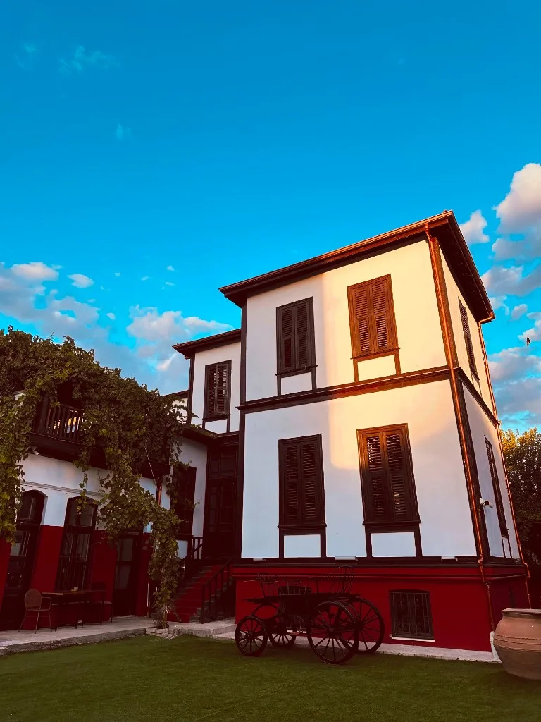
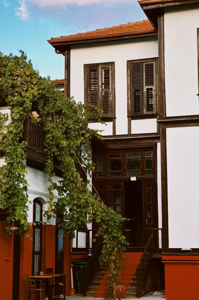
To walk that core today, our list of places to visit in Edirne and our route guide on how to get to Edirne are separate posts. For those who want to stay, edirne konaklama in our Kaleiçi mansion sits on top of the first Turkish settlement, which began inside the Byzantine fortress.
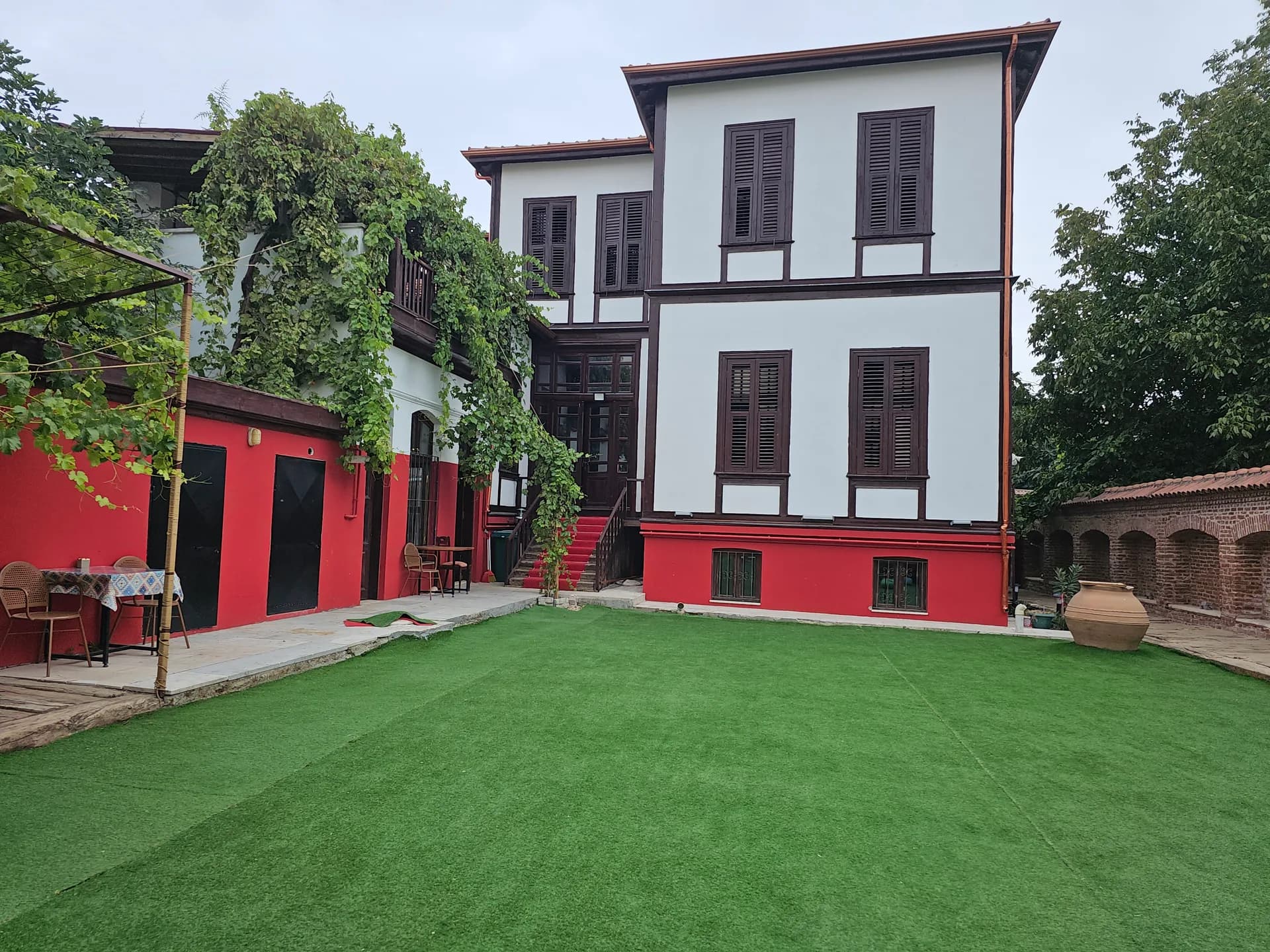
Stay
Stay in Edirne Kaleiçi with breakfast included
Thracians, Odrysians and Orestia
In the millennia before written history, this plain was a passage and pasture for Thracian communities. There is no exact "founding year"; archaeology and later writers speak of a market place or an open settlement. The framework accepted by TDV is this: the oldest city was founded by the Odrysians, a Thracian tribe, where the Meriç and Tunca meet. Under Macedonian rule it was considered a colony of the Orestae; the city was called Orestia and its outskirts Gonnoi. The same site is also given the names Odrysia, Orestas, Uscudama.
Promotional texts of the Edirne Provincial Directorate of Culture and Tourism tell of Odrysa, capital of the Odrysian Kingdom, after Uskudama, and then of the Orestes legend: Orestes, son of Agamemnon in the Trojan story, is said to have founded the city. Studies at Trakya University show that much of this story is a founding legend repeated in late Roman and Byzantine chronicles. The encyclopaedic distinction is this: the Uscudama / Odrysian settlement is a historical core; the Orestes story is a legend written later to give the city a noble root. The two should not be read with the same certainty.
The Odrysian Kingdom was one of the most powerful political structures of Thrace in the 5th–4th centuries BC. It cannot be claimed that its capital coincided exactly with today's Edirne hill in every period; sources count this region as part of Odrysian geography. Macedonian and then Roman rule turned the existing market into a walled city.
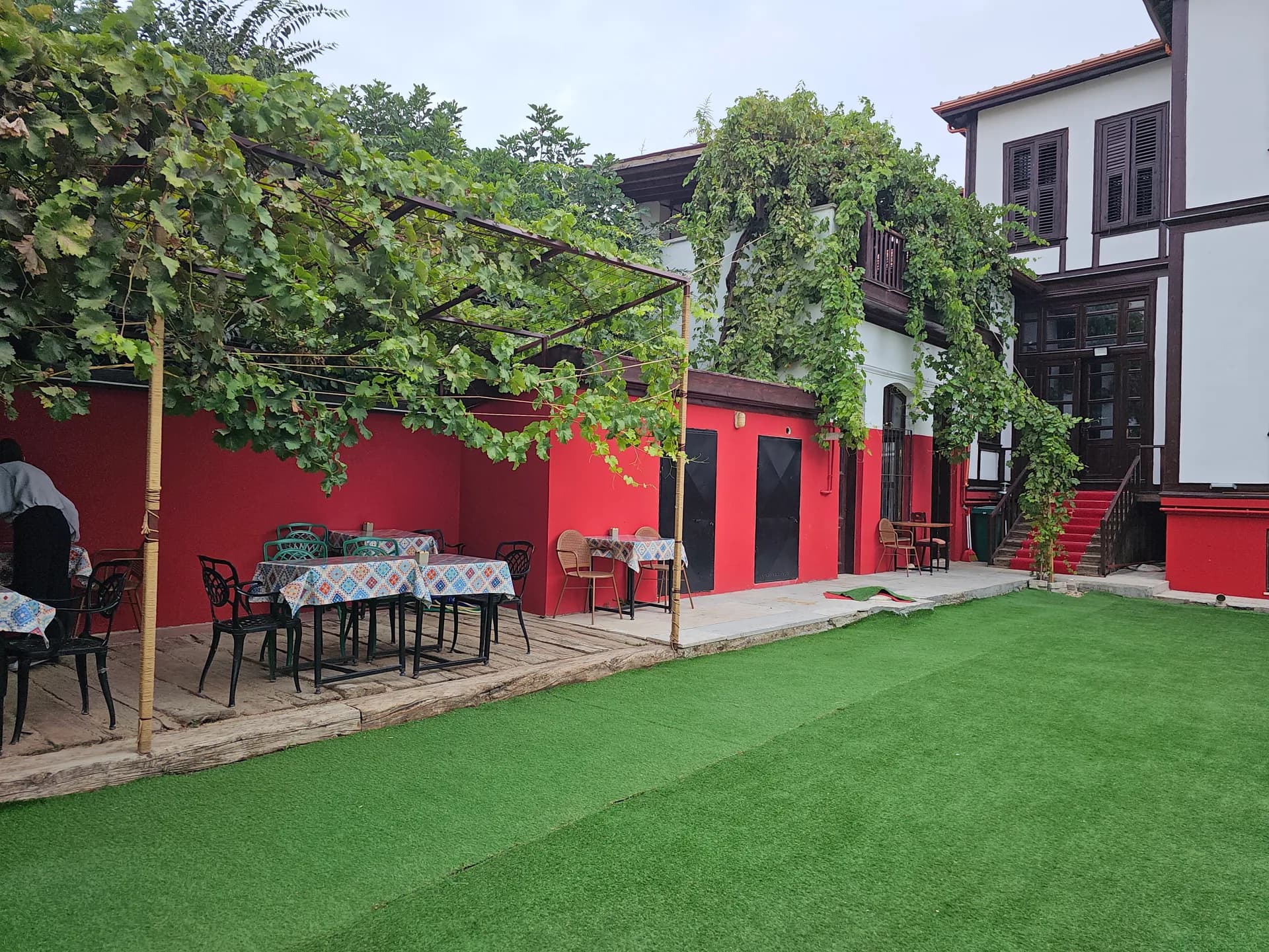
Events
Engagements, small weddings and private celebrations
Hadrianopolis: A Roman City
In the 2nd century AD, Emperor Hadrian (reigned 117–138) refounded Orestia, renewed its walls and gave the city his own name: Hadrianopolis. The Adrianople / Adrianopolis of Western languages is this name. The name Orestia did not disappear; it was still used in late Byzantine texts.
Hadrian was one of the emperors who presented themselves as "city founders" in the east of the empire. Hadrianopolis is the Thracian example of this policy: city status for a strategic town, new buildings and the emperor's name. Under Diocletian (284–305) the area was attached to the province of Haemimontus, and the city became the provincial centre. It is known that there were arms workshops here in the 4th century; ancient writers mostly mention the city in connection with battles.
Two dates entered Roman history textbooks under the name Hadrianopolis:
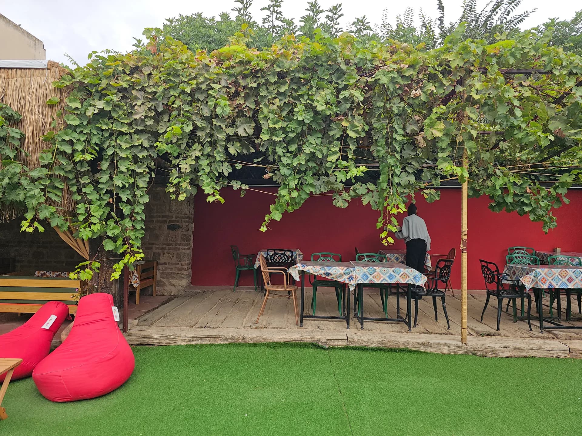
Breakfast
A generous Turkish breakfast spread in the garden
- 3 July 324: Emperor Constantine defeated his rival Licinius in this area. The result was a step on the road to a single empire.
- 9 August 378: The Battle of Adrianople. The army of Emperor Valens broke against the Goths, who were moving together with Alans and Huns; Valens died here. The military and political balance of the late Roman Empire broke on this plain. When Western historiography says "Adrianople", it usually means this day.
After the administrative division of Rome in 395, the city remained on the side of the Eastern Roman Empire (Byzantium). The part of the walls' corner towers that has survived is known on the Kültür Portalı (Türkiye's culture portal) as the Macedonian Tower. When Governor Hacı İzzet Paşa added a wooden storey and a clock on top of the tower in 1866–1867, the structure gained its identity as the Clock Tower. Its surroundings have been laid out as an urban archaeology site.
Byzantines, Bulgarians, Latins
In the early Middle Ages, Hadrianopolis never stopped being a frontier city. The military record compiled by TDV is roughly as follows:
- 586: Avar siege.
- 914: Taken during the Byzantine–Bulgarian struggles.
- 1049 and 1078: Pecheneg raids.
- 15 April 1205: After Constantinople passed into Latin hands, the Latin army was defeated here by joint Byzantine–Bulgarian forces. This was one of the heaviest blows in Thrace to the Latin Empire founded by the Fourth Crusade.
After the end of Latin Constantinople in 1261, the city returned to Eastern Roman rule; in the first half of the 14th century, civil wars and the involvement of neighbouring kingdoms continued. In 1342–1343, Umur Bey of the Aydınoğulları crossed into Thrace as an ally of Kantakouzenos in Byzantium. In 1352, Prince Süleyman Paşa was again in Thrace as an ally, and his troops joined Kantakouzenos's forces in Edirne. TDV links the Ottomans' first serious contact with the city to this event. There was no conquest yet; the door had been opened.
Kaleiçi is estimated to have been a core of 5–10 neighbourhoods and roughly 10–15 thousand people in the Byzantine period. The figure is an estimate, not a census. The real leap came with Ottoman settlement.
Conquest, Capital and the "Old Capital"
The year in which the Ottomans took the city is debated. TDV writes that 1361, 1362, 1367 and 1369 have all been put forward. The view that has gained weight is 1361, as the result of the systematic conquest policy of Murad, son of Orhan, and Lala Şahin while Orhan was still alive. The opposing view, based on a text stating that the metropolitan Polykarpos was in Edirne with that title until 1366, pushes the conquest to around 1369. The Edirne Special Provincial Administration and the Kültür Portalı take the framework of 1361 and Murad I (Hüdavendigâr) as their basis. The encyclopaedic sentence: the conquest falls in the reign of Murad I; 1361 is the most often repeated year, and the possibility of 1369 has not been closed in the academic literature.
The name also settled in this transition. Islamic sources wrote Hadrianopolis as Edrenos, Edrenaboli. In the time of Murad I, the spelling Edrene (ادرنه) became established. The pronunciation Edirne probably spread from the 18th century onwards; the Special Provincial Administration notes that the name is also found in the early 16th century. In Âşıkpaşazâde's history dated 1476, the city is still Edrene.
According to the Special Provincial Administration, the capital was moved from Bursa to Edirne in 1365. The period until the conquest of Istanbul (1453) is about 88 years. This was the passage from a principality centre to the threshold of an empire: raids into Rumelia were directed from here, envoys were received here, and the first monumental mosques and the palace rose here. The Kültür Portalı's formula is apt: Edirne is the capital after Bursa and the "second centre" after Istanbul.
Murad II and Mehmed II
Under Murad II the city gathered pace. The sultan held weddings for his sons and ran the affairs of Rumelia from here. His handing of the throne to his son Mehmed, followed by the uprising in which the Janissaries, using a fire as a pretext, raided some mansions, also took place in Edirne; Murad II returned to the throne. In 1450 he married his son Mehmed here to Sitti Hatun, daughter of Süleyman Bey of the Dulkadiroğulları. Murad II died in Edirne on 3 February 1451. Prince Mehmed came from Manisa and took the throne here.
Mehmed II had the plan for the siege of Istanbul drawn up in Edirne in the winter of 1452–1453. The conquest moved the capital to Istanbul; it did not erase Edirne. Sultans continued to gather here before campaigns and to hold hunting parties and weddings. In the 17th century Mehmed IV again used the city almost as a de facto seat of state: the reception of envoys, the circumcision feasts of princes and the eighteen-day wedding of his daughter Hatice Sultan took place here. The official capital was Istanbul; Edirne kept the title "pâyitaht-ı kadîm", the old capital.
Mosques, Bridges, Palace and Medicine
The first Turkish settlement was in Kaleiçi. One of the oldest Ottoman buildings in Kaleiçi is the Halebî / Çelebi Mosque, converted from a church and mentioned on the Keçeciler road in Kaleiçi; it is recorded as founded by order of Murad I, with a madrasa added beside it by Murad II. The Yıldırım Mosque, dated 1399, is one of the only sultan-scale examples to survive from the 14th century.
The Old Mosque and Üç Şerefeli
The Old Mosque (Eski Cami) (first the Ulucami, after Üç Şerefeli the Cami-i Atik): construction began under Emir Süleyman in 1402–1403 (AH 805), continued under Musa Çelebi and was finished in 1413 (AH 816) in the time of Çelebi Mehmed. According to its inscription, its architect was Hacı Alâeddin of Konya and its master builder Ömer bin İbrahim. It is a nine-domed, square-plan great mosque. The bedesten (covered market) that Mehmed I had built in 1418 as an endowment for the mosque has fourteen domes and four gates. The sword-girding ceremony of Ahmed II was held in this mosque; throughout his reign he never went to Istanbul.
The Üç Şerefeli Mosque was built by Murad II between 1437 and 1447 (AH 841–851). It has an arcaded courtyard, a wide late-comers' portico and four minarets at the four corners of the courtyard. The great dome over the prayer hall is considered a link in the chain leading to the classical mosque in Istanbul. The Saatli Madrasa beside it dates from the same years. The Muradiye Mosque, meanwhile, was first planned as a Mevlevi lodge in 1436 and later converted into a mosque.
The Bayezid II Complex
Bayezid II had the complex built on the bank of the Tunca between 1484 and 1488 (AH 889–893). It consists of a mosque, guest rooms, a madrasa, a darüşşifa (hospital), a soup kitchen, a double hammam and a bridge. The darüşşifa, one of the applied examples of Ottoman medical history, is visited today as the Health Museum. The Bayezid II Bridge, attributed to the architect Hayreddin, is also dated to around 1488.
Selimiye
The Selimiye Mosque and Complex was begun by order of Selim II in 1568, took about six years and was finished in 1574. Mimar Sinan called the building his "masterpiece". The Kültür Portalı records that about 15 thousand people worked on its construction. The complex includes a madrasa, a darülkurra (school of Qur'an recitation), a primary school and a timekeeper's room. The Darülkurra Madrasa belongs to the same programme, dated 1569–1575; after its 2007 restoration it became the Selimiye Foundation Museum. The complex was added to the UNESCO World Heritage list in 2011.
In the reign of Murad III, the Selimiye Arasta (covered bazaar) was built opposite it to provide income for the complex. Promotional texts give the arasta as about 225 metres long, with 73 arches and 4 gates; the measurements should be checked on site. Visiting hours for the Selimiye Mosque vary with prayer times; there is no fixed "ticket office time".
Bridges and the Palace
- Uzunköprü (over the Ergene): 1427–1443. Official promotion calls it the longest stone bridge in the world.
- Gazi Mihal Bridge: 16 arches; first half of the 15th century, together with the Mihaloğlu complex.
- Saraçhane Bridge: 1451, ten arches; Hadım Şehabeddin Paşa.
- Kanuni (Saray) Bridge and Yalnızgöz: Tunca crossings attributed to Mimar Sinan.
- Mecidiye (Meriç) Bridge: 1842–1847 in the reign of Abdülmecid, about 263 metres, 12 arches.
The Edirne Palace (Sarayiçi) grew during the capital years. In the 1877–1878 Ottoman–Russian War it was destroyed to an extent from which it never recovered. The parts still standing today, the kitchens and the excavation site only partly convey the scale of that palace. Sarayiçi is also the arena of the edirne kırkpınar oil wrestling. The wrestling was added to the UNESCO intangible cultural heritage list in 2010. The founding story — Süleyman Paşa's forty warriors, Ali and Selim, the fig tree and the spring — is a legend; the festival itself is an unbroken institution.
Population, Neighbourhoods and Market
In 1396, Schiltberger, taken captive at Nicopolis, wrote that he saw 50 thousand houses in the city; TDV finds this figure exaggerated. In 1433, the Burgundian traveller Bertrandon de la Broquière found Edirne large and lively after sparsely populated Thrace. In 1528, 144 Muslim and 19 Christian neighbourhoods and 8 Jewish congregations were registered. In 1609 and 1636 the number of neighbourhoods was 147. In the 1703 count, after mergers, 65 neighbourhoods remained; 47 inside the bend of the Tunca, 18 on the far side of the river.
Evliya Çelebi counts 16 neighbourhoods for Kaleiçi: two Muslim, four Jewish and ten Christian. The 17th century was the period when the city came closest to its widest settled limits. District names survive today: Debbağhane, Kirişhane, Kıyık, Yıldırım, Gazi Mihal, Yeni İmaret (Bayezid II), Saraçhane.
Hans Dernschwam, who was with the Habsburg embassy in 1555, wrote that he saw every kind of fruit and four large bakeries in the market. İskelebaşı, next to the Meriç Bridge, worked like a landing connected to the port of Enez. Anatolian goods flowed from here to the Danube basin, and Mediterranean goods in the opposite direction. The city was as much a warehouse as a barracks.
The 18th and 19th Centuries: Fire, Earthquake, War
In the fire of 1745, about sixty neighbourhoods were completely ruined. The earthquake of 1751 brought down many buildings; architectural records also mention an earthquake dated July 1752 (Ramadan AH 1165). The same disaster may be remembered with two dates; what is clear is that in the mid-18th century the city underwent major repairs after both fire and tremor.
The "Edirne incidents" of 1801 and 1806 were the resistance of the Rumelian notables to the Nizam-ı Cedid (the New Order reforms). Unrest also broke out in the city when the Janissary corps was abolished. The real break came from outside:
- 22 August 1829: In the Ottoman–Russian War of 1828–1829, a Russian army entered the city without a battle. TDV states that buildings other than the palace were not seriously damaged during this occupation. The Treaty of Edirne was then signed.
- 1877–1878 (the "War of '93"): The second Russian occupation. The Edirne Palace was largely lost in this war. The city never returned to the scale of the old capital.
- 1912–1913 Balkan War: The siege and occupation exceeded earlier destruction in terms of buildings and population. The city returned to Ottoman administration in 1913. These are the years told at today's Balkan Martyrs' Cemetery, the Şükrü Paşa Monument and the Hıdırlık redoubts.
In the 19th century the administration also changed: from dependence on the Çirmen sanjak of the Rumelia province to a mutasarrıflık (sub-province), and then to the centre of a vilayet (province). The railway linked the city to the European line; today's Karaağaç Station is a trace of this age.
Lausanne, the Border and the Republic
After the Armistice of Mudros, Western Thrace and Edirne again saw occupation. The Kültür Portalı records the occupation and destruction of 1920 and writes that this period for the city closed with the 1923 Treaty of Lausanne. The treaty was signed on 24 July 1923. Edirne remained Türkiye's western border. Karaağaç and its station building were left to the Turkish side in return for war reparations; today's Lausanne Monument is read against this arrangement. The city returned to Turkish administration on 25 November 1922, the date marked in the municipal calendar as Liberation Day; the border was legally settled by Lausanne. The two dates should not be substituted for each other.
In the early years of the Republic, the population fell. According to TDV, towards 1940 it passed 45 thousand, a large part of which was soldiers massed in the region in preparation for the Second World War. In 1945, with the withdrawal of the troops, the population fell to 29 thousand. It was 71,914 in 1980, 86,909 in 1985 and 102,345 in 1990. For current provincial and district population, the only correct source is TÜİK (Turkish Statistical Institute); we do not put a fixed "current population" here.
The economy remains the market for agriculture from the nearby plain: rice, cheese, sunflowers and vineyards. Border trade and cultural tourism — Selimiye, the bridges, Kırkpınar, Karaağaç — became the second vein that kept the city going in the second half of the 20th century. Geographically indicated products (tava ciğeri, Edirne-style fried liver; white cheese; badem ezmesi, almond paste; deva-i misk) are the culinary face of this market; they are the subject of a separate food post.
Timeline
| Year | Event |
|---|---|
| BC eras | Odrysian / Uscudama core; no exact founding year |
| AD 117–138 | Hadrian founds Hadrianopolis |
| 3 July 324 | Constantine defeats Licinius in this area |
| 9 August 378 | Battle of Adrianople; Valens dies |
| 586 | Avar siege |
| 914 | Taken in the Bulgarian–Byzantine struggle |
| 15 April 1205 | Latin army defeated here |
| 1352 | Süleyman Paşa's Thrace campaign; first Ottoman contact with the city |
| 1361 | Conquest (prevailing view; 1369 is also possible) |
| 1365 | Capital moved from Bursa (common view) |
| 1399 | Yıldırım Mosque |
| 1402–1413 | Old Mosque |
| 1418 | Bedesten |
| 1437–1447 | Üç Şerefeli Mosque |
| 3 February 1451 | Murad II dies in Edirne |
| Winter 1452–1453 | Mehmed II has the Istanbul plan drawn up here |
| 1484–1488 | Bayezid II Complex |
| 1568–1574 | Selimiye |
| 1745 | Great fire; about 60 neighbourhoods |
| 22 August 1829 | First Russian entry |
| 1877–1878 | Major destruction of the palace |
| 1912–1913 | Balkan War siege |
| 25 November 1922 | Return to Turkish administration (municipal calendar) |
| 24 July 1923 | Lausanne |
| 2010 | Kırkpınar, UNESCO intangible heritage |
| 2011 | Selimiye Complex, UNESCO World Heritage |
This table is not a list of "the one correct year". The conquest year and some earthquake dates shift between sources; each cell holds the date most often repeated or used by official promotion.
Which Layer Stands Where Today?
Reading Edirne as a single "Ottoman city" erases the two thousand years beneath it. On a walk, the layers separate like this:
1. Hill and junction: Why is there a city here? Three rivers and a 75-metre hill. 2. Walls and tower: The fortress of Hadrianopolis; the Macedonian Tower / clock. 3. Kaleiçi: The Byzantine core and the first Ottoman neighbourhoods. Today mansions, courtyards and the walk to the bazaar are in this ring. 4. The imperial trio: Old Mosque (1413), Üç Şerefeli (1447), Selimiye (1574). All three stand at the foot of the same hill, about one hundred and sixty years apart. 5. The far side of the Tunca: The Bayezid II complex, the health museum, the soup kitchen. 6. Sarayiçi: The trace of the palace and the Kırkpınar meadow. 7. Karaağaç: The 19th-century railway and the border story left by Lausanne.
Those looking for an Edirne historic mansion stay in Kaleiçi step right into these layers. A morning edirne serpme kahvaltı (spread breakfast), Selimiye and the Old Mosque before noon, the Tunca bridges in the afternoon — this route is the practical way to read the history.
For directions, see our location in Kaleiçi, Edirne (Google Maps).
Frequently Asked Questions
What was the old name of Edirne?+
It has had more than one name. The oldest are Uscudama, Odrysia and Orestia. From Roman times it was Hadrianopolis (Adrianople), under the Ottomans Edrene, and then Edirne. Thracian names first, then Hadrianopolis, which English books still call Adrianople, then Edrene, then Edirne. You will meet more than one of them on signs and in guides.
Who founded Edirne?+
There is no single founder. Hadrian (AD 117–138) founded Hadrianopolis on top of the Thracian / Odrysian settlement. The story linked to Orestes is a founding legend. There is no single founder. Hadrian raised the Roman city on an older Thracian settlement, and the Orestes story is a legend, not a foundation date.
When was Edirne conquered?+
In the reign of Murad I. The most widely accepted year is 1361. Academic sources also discuss 1362, 1367 and 1369. In the reign of Murad I, with one year usually given and a few others still discussed. If you do not want the footnote, say it was in his reign.
How many years was Edirne the capital?+
The move of the capital from Bursa is mostly dated to 1365, and Istanbul becoming capital to 1453. That is about 88 years. After Istanbul it was still used as the "old capital"; in the 17th century, under Mehmed IV, it worked almost as a de facto centre. From the move out of Bursa until Istanbul became capital, a matter of decades. Afterwards it kept the title of old capital, and in the seventeenth century it again worked almost as a seat of government.
Why is the Battle of Adrianople important?+
On 9 August 378, Emperor Valens was defeated by the Goths and died. The military balance of the late Roman Empire changed here. Valens was defeated and died, and the late Roman military balance shifted. There is no separate battlefield museum; the city is what you visit.
When was Selimiye built, and who built it?+
Mimar Sinan, by order of Selim II, in 1568–1574. It was added to the UNESCO list in 2011. Sinan considered the building his masterpiece. Sinan, for Selim II, and placed on the UNESCO list centuries later. He called it his masterpiece, which is the line the guides are quoting.
Does the Edirne Palace still stand?+
The palace was largely lost in the 1877–1878 war. Ruins, an excavation site and the Kırkpınar arena remain in Sarayiçi. Most of it was lost in that war. What you can see at Sarayiçi is the ruin, the excavation and the wrestling ground.
What happened to Edirne in the Balkan War?+
In 1912–1913 it was besieged and occupied; in 1913 it returned to Ottoman administration. The war left heavy marks on its buildings and population. It was besieged and occupied, then returned to Ottoman administration, all within those years. The loss shows in the buildings, so do not expect every monument to be whole.
When did Edirne become part of Türkiye's border?+
The city returned to Turkish administration on 25 November 1922. The border was legally drawn by the Treaty of Lausanne on 24 July 1923. Under this arrangement, Karaağaç remained on the Turkish side. The return to Turkish administration and the treaty that drew the border are two dates, and under that settlement Karaağaç stayed on the Turkish side. Do not fold them into a single day.
Why is Edirne still important?+
Three rivers, two border gates, a mosque complex and a wrestling tradition on the UNESCO lists all stand in the same city. It is not a capital; it is a threshold city. To see this on the spot, one night in Kaleiçi, a noon at Selimiye and an evening on the Tunca bank are enough.
You may also like: Accommodation, Breakfast, Events.