Edirne's Macedonian Tower and Hadrianopolis walls: Roman and Byzantine traces, 9 gates, the clock tower era and the new Tower Museum. Plan your visit now.
Edirne's Macedonian Tower (Makedonya Kulesi) is the only tower to survive intact from the fortress of Hadrianopolis, founded in the reign of the Roman Emperor Hadrian. Standing at the northeast corner of Kaleiçi, the structure was used for a time as a clock and fire tower; after a long restoration and excavations, it opened to visitors on 8 July 2026 as the "Edirne Macedonian Tower Museum".
Café & Restaurant
Coffee, desserts and a relaxing break
The area around the tower is one of the rare places that brings together roughly 1,900 years of Edirne's city-wall history: Roman foundations, a Byzantine brick inscription, an Ottoman icehouse and traces of a 20th-century clock tower stand layered on the same spot.
Quick Overview
| Topic | Information |
|---|---|
| Founder of the walls | Roman Emperor Hadrian (r. 117–138) |
| Rise of the city | Hadrian's eastern journey of 123/124 |
| Plan | Roman military camp (castrum), streets crossing at right angles |
| Corner towers | Makedonya, Zindan, Germekapı, Yelliburgaz |
| Number of gates | 9 according to Ottoman sources |
| Tower's present structure | 10th-century Byzantine bastion on a Roman foundation |
| Clock tower | Governor Hacı İzzet Paşa, wooden (1884–1885); masonry (1894) |
| Museum opening | 8 July 2026 |
| Address | Çavuşbey Mah. Banka Aralığı Sk. No:9, Kaleiçi |
The Walls of Hadrianopolis: Rome's Fortress in Thrace
According to Kültür Portalı (Türkiye's culture portal), on his first eastern journey in 123/124 Emperor Hadrian raised the settlement, then a small market place, to the status of a city. He enclosed it with walls on a near-square plan and turned the city into an important Roman military camp (castrum). The city took the emperor's name as Hadrianopolis; in the reign of Diocletian (284–305) it became the capital of Haemimontus, one of the six provinces of Thrace. We explain how today's name "Edirne" derives from this name in our article on the origin of the name Edirne.
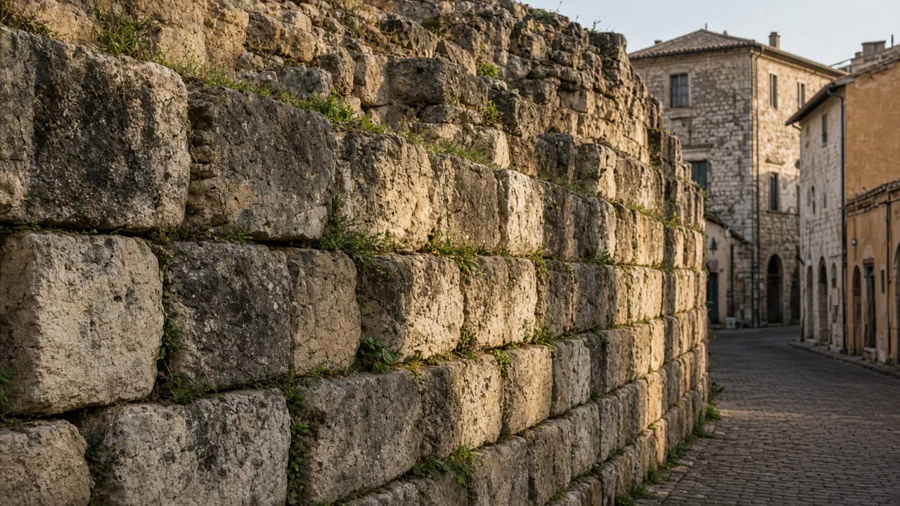
According to the study "Hadrianopolis: A Fortress City in Thrace", published in the journal TÜBA-AR, the fortress was built on ground sloping down towards the banks of the Tunca. There is a height difference of about 15 metres between the highest point of the fortress and the riverbank, and the wall foundations were laid in steps to follow this slope. The foundations are 1.85–2.20 metres deep and 1.20–1.40 metres wide. Limestone and küfeki stone were used in the construction, and the blocks were joined with dovetail-shaped clamps. According to the study, a defensive interval of about 50 metres was left between the bastions.
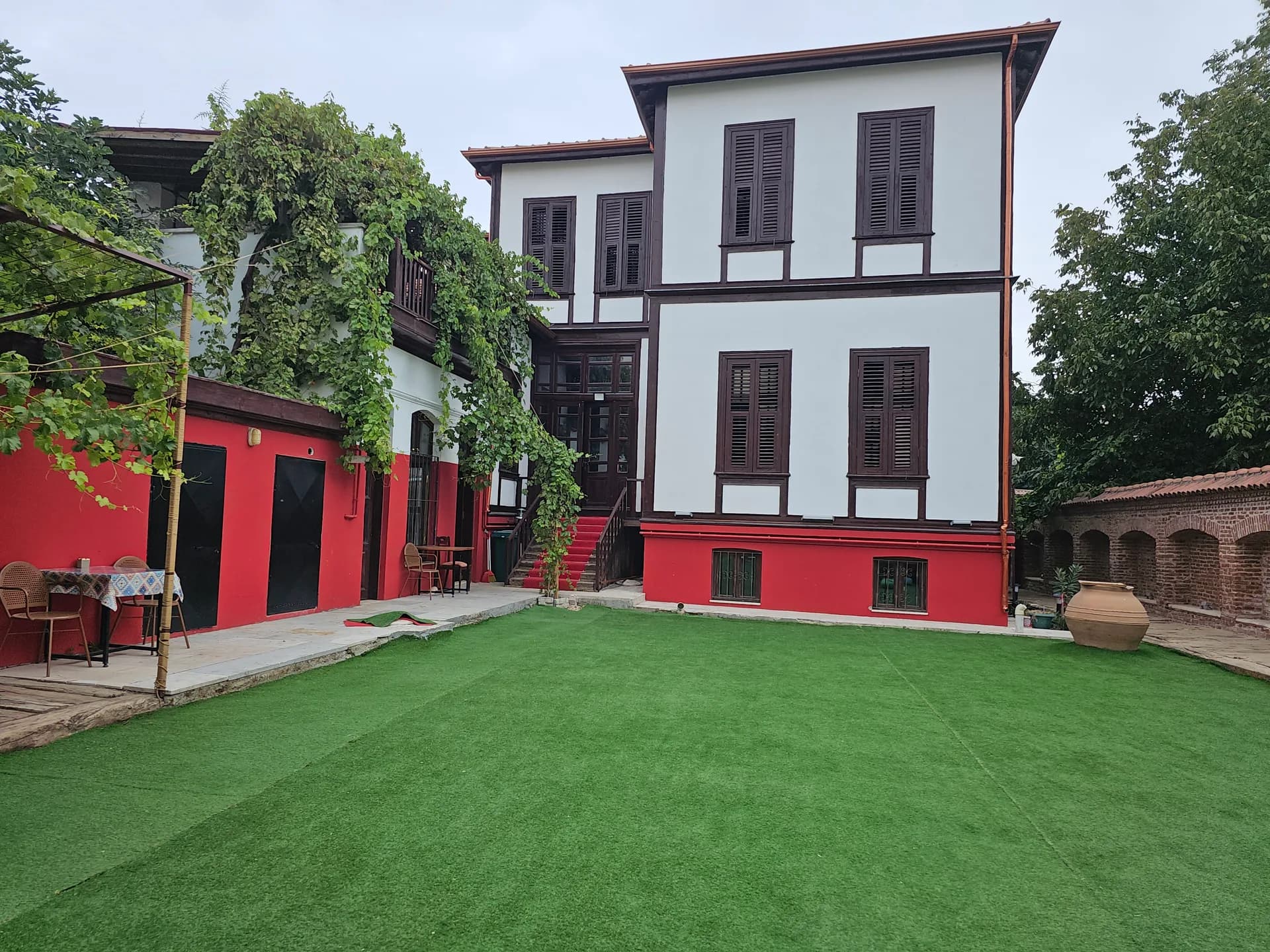
Stay
Stay in Edirne Kaleiçi with breakfast included
Different figures are given for the size of the area enclosed by the walls. The Kaleiçi quarter today covers a rectangular area of about 26 hectares; researchers, however, suggest that the Roman walls were planned to enclose an area larger than 40 hectares.
Edirne Castle in the Byzantine and Ottoman Periods
Hadrian's fortress was used throughout the Roman, Byzantine and Ottoman periods and repaired many times. The city's name entered the important pages of Roman history on 9 August 378 with the Battle of Hadrianopolis, in which the Eastern Roman Emperor Valens lost his life.
Excavations revealed several phases of repair on the walls:
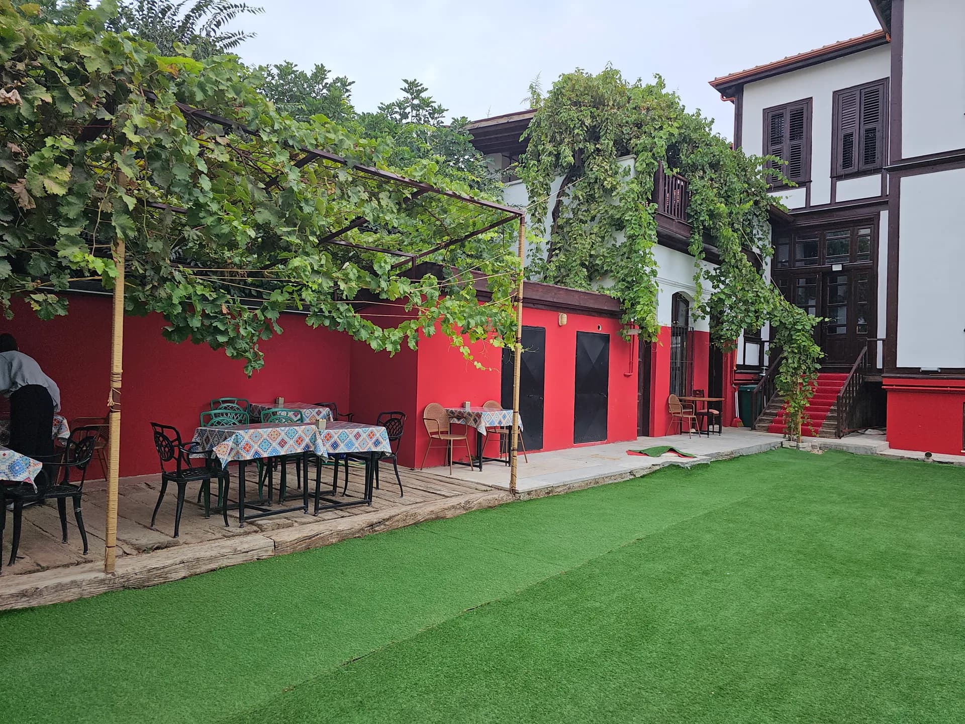
Events
Engagements, small weddings and private celebrations
- 4th–6th centuries: The joints between stones originally laid without mortar were pointed with a reddish lime mortar. The wall, at one time a single course, was made double and the space between was filled with rubble.
- 10th century: In the reign of the Byzantine Emperor John I Tzimiskes (969–976), the walls were extensively repaired. The present body of the Macedonian Tower also dates from this period.
- 13th century: Research points to a further, separate repair phase.
In the Ottoman period, the fortress lost its defensive function as the city grew outward. The TDV Encyclopaedia of Islam reports that the Manyas Gate was renewed in the reign of Mahmud I after the 1752 earthquake. In the 19th century, the end came for the walls: between 1866 and 1870, under Governor Hurşit Mehmed Paşa, a large part of the fortress was sold to raise funds for official buildings such as a hospital, schools and barracks. Although an attempt was made to halt the demolition in 1883, most of the walls, bastions and towers had been dismantled by then.
You can find the city's wider history in chronological order in our article on the history of Edirne.
The Gates and Towers of Edirne Castle
According to the TDV Encyclopaedia of Islam, the fortress had four corner towers and nine gates.
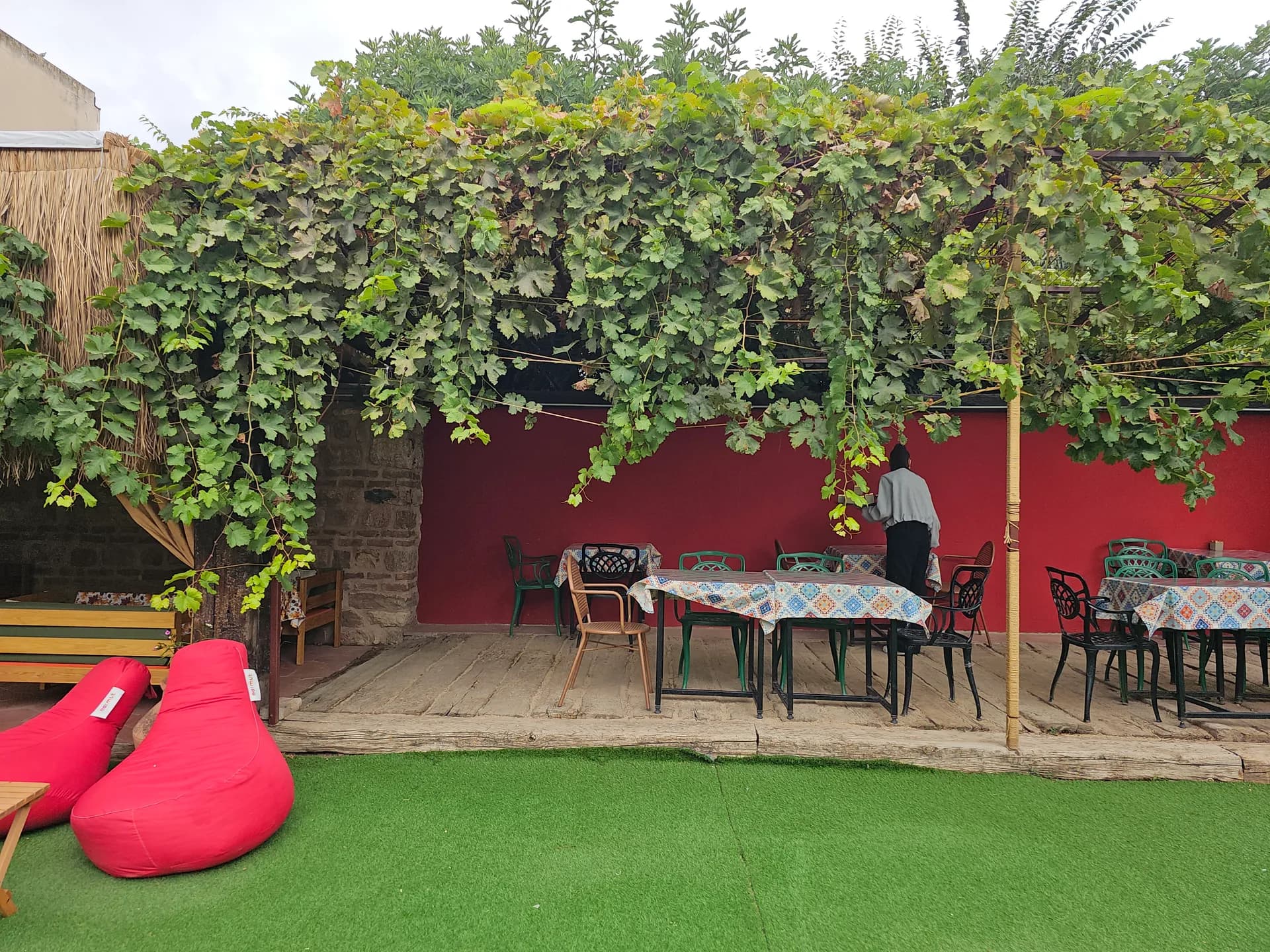
Breakfast
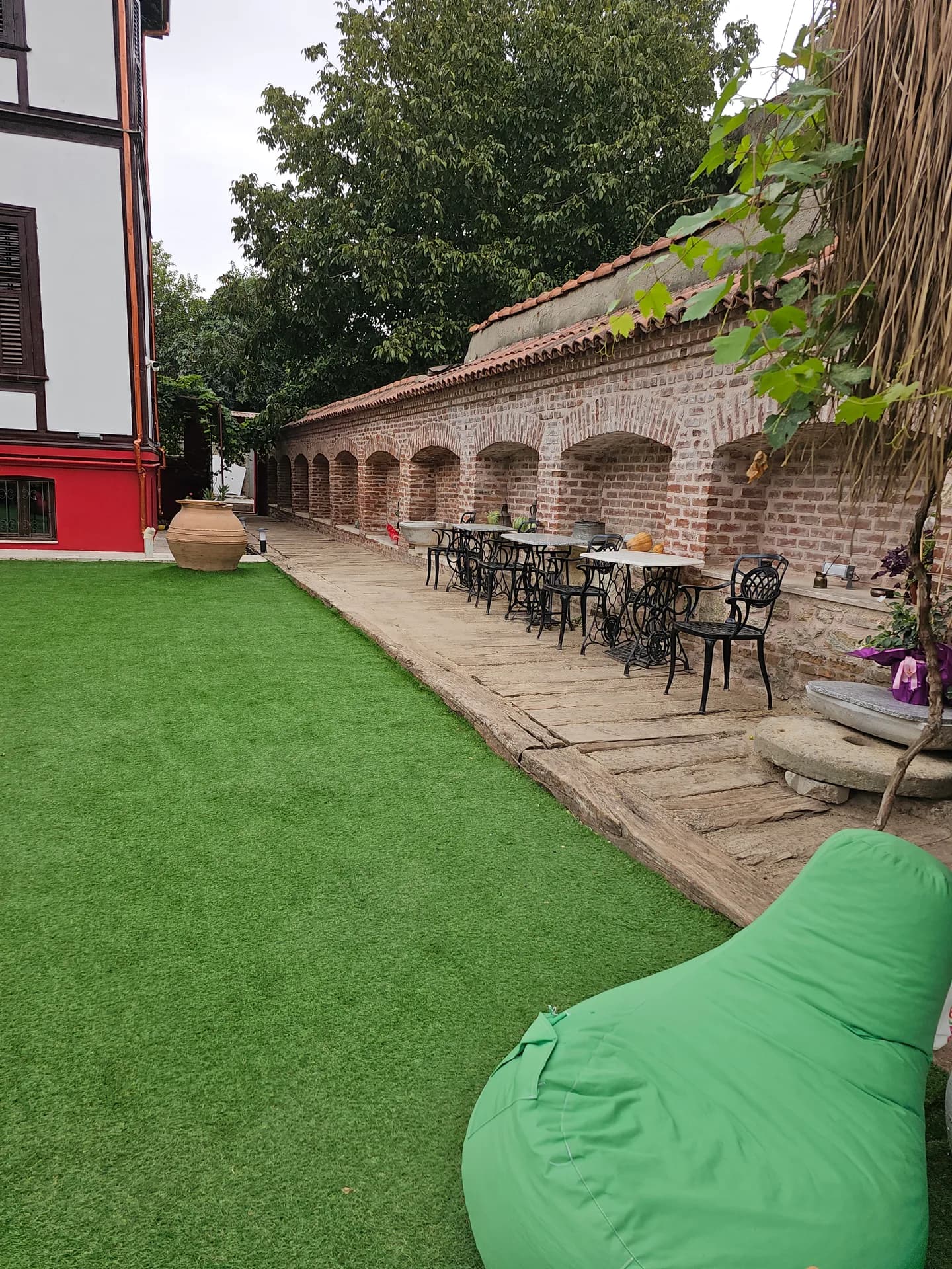
A generous Turkish breakfast spread in the garden
The four corner towers
- Macedonian Tower (Great Tower): The northeast corner; larger than the others and the only tower still standing today.
- Zindan Tower: The southeast corner, in the Zindanaltı quarter.
- Germekapı Tower: The southwest corner. Evliya Çelebi calls the second tower on the riverside the "Uğrun Kule".
- Yelliburgaz Tower: The northwest corner; used for a time as a prison in the Ottoman period.
The nine gates in Ottoman sources
1. Kulekapı (Ketenciler Gate), on the east wall 2. Orta Kapı (Middle Gate), on the Ali Paşa Bazaar side 3. Balıkpazarı Gate (formerly known as the İğneciler and Istanbul Gate) 4. Tavuk Pazarı Gate, in line with today's Cumhuriyet Caddesi 5. Manyas Gate, on the south wall 6. Uğrun Kapı, a very narrow, hidden passage 7. Keçeciler (Kazancılar) Gate, on the west wall 8. Kafeskapı, near the Yelliburgaz Tower 9. Topkapı, on the north wall
Researchers note that nine gates are too many for a Roman castrum plan and that some may have been opened later by demolishing angular bastions. The city's main east–west axis is thought to coincide with the line of the Tunca bridge crossed by Rome's Via Militaris.
The Macedonian Tower: From Byzantine Bastion to Clock Tower
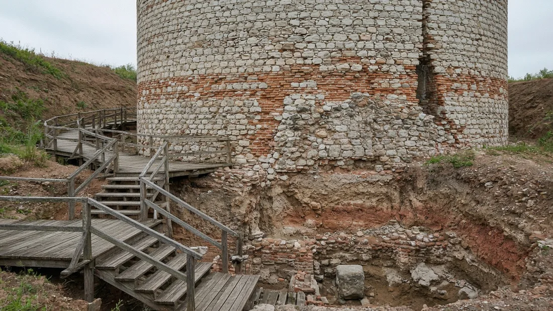
According to the TÜBA-AR study, the Macedonian Tower is about 15 metres high and 16 metres in diameter. The 2002–2003 excavations showed that the tower was built directly on top of the original Roman bastion and on a larger scale. Numerous 10th-century coins and coins from the reign of John I Tzimiskes found at foundation level allowed the present structure to be dated to the 10th century. The Greek brick inscription encircling the upper part of the tower means "Lord, help John, our pious and Christ-loving ruler". The tower stands where the north and west walls meet at an angle of about 100 degrees; its west entrance, facing Kaleiçi, preserves its Roman fabric.
The tower's second life began at the end of the 19th century:
- 1884–1885: As clock towers spread through Ottoman cities, Governor Hacı İzzet Paşa had a wooden clock section added on top of the tower. Some news reports give this date as 1867; Kültür Portalı and the academic study give 1884–1885.
- 1894: A masonry clock tower replaced the wooden one. This section was also used as a fire tower.
- 1953: The top three storeys of the clock tower, damaged in an earthquake, were brought down by controlled demolition on 6 July 1953 because they posed a danger.
- 1990s: The Ministry of Culture partially restored the tower.
The name "Saat Kulesi" (Clock Tower) still lives on in the speech of Edirne's residents; visitors asking for the tower by either name are pointed to the same place.
Excavations and the Edirne Macedonian Tower Museum
The first systematic excavations around the tower were carried out in 2002–2003 by the Edirne Museum Directorate, at the initiative of the then Governor of Edirne, Fahri Yücel; a new excavation season was conducted in 2024. The excavations uncovered walls, Roman pottery kilns, a Byzantine funerary chapel and an Ottoman icehouse. More than a hundred graves dating from the 10th to 12th centuries were found in the Macedonian Tower and Zindanaltı excavations; a funerary stele also showed that the area was used as a necropolis in the 1st and 2nd centuries.
According to the local press, the Ministry of Culture and Tourism began restoring the tower in December 2021. After about four years of work, the museum opened on 8 July 2026:
- Inside the tower: 76 artefacts from the tower and Kaleiçi excavations are displayed across the floors. Among them are a 2nd-century head of Odysseus, terracotta oil lamps, glass cups, a gold pendant and coins.
- Archaeopark: In the garden, the Roman pottery kilns, the Byzantine chapel and the Ottoman icehouse are preserved in situ. The total number of artefacts exceeds 100.
- Viewing terrace: From the top of the tower you can take in the rooftops of Kaleiçi and the Edirne skyline.
According to the local press, the museum is open 09:00–19:00 in summer and 09:00–17:30 in winter, and entry is also possible with a Müzekart (Türkiye's museum pass). Confirm opening hours and fees from a current source before you go. For a plan that includes the city's other museums, see our guide to Edirne's museums.
Kaleiçi's Grid Plan and What Remains Today
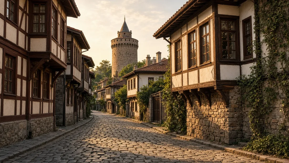
The right-angled street layout of the Roman castrum survived in Kaleiçi for centuries. Evliya Çelebi writes that in the 17th century Kaleiçi had 360 stone-paved streets crossing each other like a chessboard. After the great fire of the early 20th century, the quarter was replanned by French experts during the term of Mayor Dilaver Bey. According to researchers, many streets in the new plan coincide with the line of the old angular bastions; in other words, today's grid carries the trace of the demolished walls.
Today Kaleiçi lies in the area between Talatpaşa Bulvarı, Saraçlar Caddesi (Saddlers' Street) and the Tunca River. What remains of the walls:
- The Macedonian Tower and the excavation area around it, and the wall sections on the Mumcular Sokak side
- The angular bastion in Zindanaltı, uncovered by excavation and the best preserved bastion
- Bastion remains identified by excavation in front of the Kozahan and on Maarif Caddesi
- Scattered fortress stones visible along the edge of the flood embankment on the Tunca bank
If you want to explore Kaleiçi street by street, you can add the tower as the first stop on the walk in our one-day walking route in Kaleiçi.
The tower is north of the Ali Paşa Bazaar, at the northeast corner of the quarter, and is easy to reach on foot from Kaleiçi. Komşu Konak is just outside Kaleiçi, at İzmir Caddesi No 18; the Ali Paşa Bazaar is a few minutes' walk away. If you want to start the day slowly with breakfast in the courtyard before your museum visit, or spend a night in the quarter, take a look at our Edirne Kaleiçi stay page. You can plan your walk using our location in Kaleiçi, Edirne (Google Maps).
Frequently Asked Questions
Where is the Macedonian Tower in Edirne?+
It is at the northeast corner of Kaleiçi, at Çavuşbey Mahallesi, Banka Aralığı Sokak No:9; it lies north of the Ali Paşa Bazaar. Fold it into an old-quarter walk; it is not a separate district.
Is the Macedonian Tower open to visitors?+
Yes. After restoration and excavations, it opened to visitors on 8 July 2026 as the "Edirne Macedonian Tower Museum". Confirm current opening hours and fees before you go. Hours and any fee should be checked before you go, because a recent opening does not freeze the timetable.
Who built the Macedonian Tower?+
The fortress was founded in the reign of the Roman Emperor Hadrian. The tower's present body, however, was built on top of the Roman bastion in the 10th century, in the reign of the Byzantine Emperor John I Tzimiskes. Two eras, one corner.
Why is the Macedonian Tower called the Clock Tower?+
Governor Hacı İzzet Paşa had a wooden clock section added on top of the tower in 1884–1885; in 1894 it was replaced by a masonry clock tower. This section was taken down after the 1953 earthquake, but the name "Saat Kulesi" (Clock Tower) remained. A clock was added on top in the late nineteenth century, first wood and then masonry, and removed after the earthquake.
Are Edirne's city walls still standing today?+
Most of them were sold and dismantled between 1866 and 1870. Today you can see the Macedonian Tower, the angular bastion in Zindanaltı and wall sections uncovered by excavation. Most were sold and taken down in the later nineteenth century. What remains is the tower, a bastion in Zindanaltı, and pieces the excavations have uncovered.
How many gates did Edirne Castle have?+
Nine, according to Ottoman sources: Kulekapı, Orta Kapı, Balıkpazarı, Tavuk Pazarı, Manyas, Uğrun, Keçeciler, Kafeskapı and Topkapı. You will not find nine standing gates; the names are the map of what was sold off.
What is on display at the Macedonian Tower Museum?+
There are 76 artefacts inside the tower, and the archaeopark in the garden contains Roman pottery kilns, a Byzantine chapel and an Ottoman icehouse; the total number of artefacts exceeds 100. Artefacts in the tower, and in the garden kilns, a chapel and an icehouse, with the overall count higher than the indoor set. The garden is part of the visit, not a lawn you skip.
Why does Kaleiçi have a grid plan?+
The plan derives from the layout of a Roman military camp (castrum). The new plan drawn up after the great fire of the early 20th century also continued this pattern of streets crossing at right angles. That is why the walk to the tower is easier than a typical old-town tangle.
When did the Macedonian Tower Museum open?+
It opened to visitors on 8 July 2026 as the Edirne Macedonian Tower Museum, after a long restoration and excavations. The structure standing today is a 10th-century Byzantine bastion on a Roman foundation. A wooden clock tower was added under Governor Hacı İzzet Paşa in 1884–1885 and rebuilt in masonry in 1894.
What were the corner towers of Edirne's castle called?+
The four corner towers are Makedonya, Zindan, Germekapı and Yelliburgaz. Ottoman sources give the castle nine gates. The walls go back to Emperor Hadrian, who reigned from 117 to 138, and the city's rise is tied to his eastern journey of 123/124.
You may also like: Accommodation, Breakfast, Events.